What is recorded here
Partially excavated in advance of construction of the N9/N10 Kilcullen-Waterford Road (Excavation Licence number E2578). Probably an access route off the Carlow to Hacketstown Road to Busherstown graveyard (CW008-017003-) which came into use in the early post medieval period and was used up until the abandonment of the graveyard in the early 19th century. (Stephenson, A. 2009, 40)
Reference:
Stephenson, A. (2009) 'Busherstown Post-medieval trackway' in I. Bennett (ed.), Excavations 2006: summary accounts of archaeological excavations in Ireland, 40 (164). Bray. Wordwell
Compiled by: Claire Breen
Date of upload: 10 November 2010
The monument record does not grant public access. Check the route and ask the landowner before entering private land.
- What survives
- Recorded monument
Places near here
 Ecclesiastical enclosure in BusherstownEcclesiastical enclosure · 276 yd
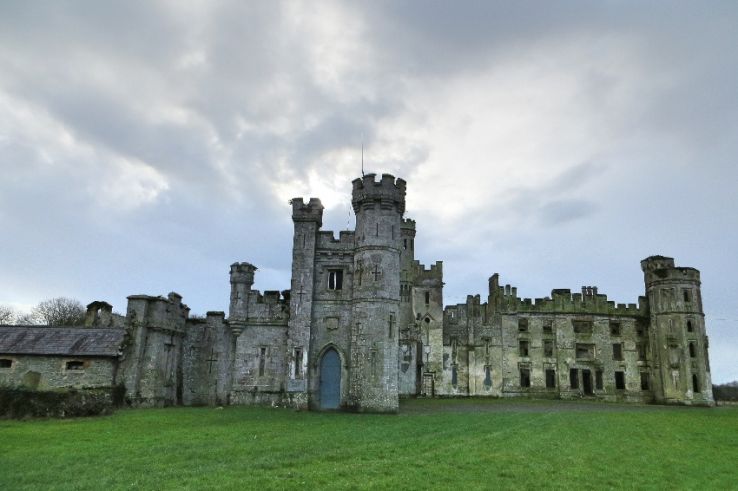 Enclosure in BusherstownEnclosure · 371 yd
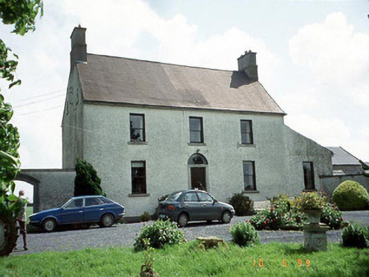 Busherstown Housefarm house · 433 yd
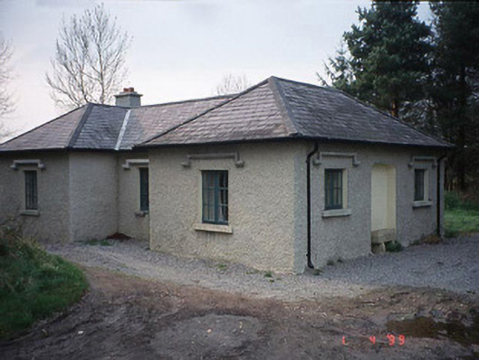 Johnstown Housegate lodge · 887 yd
 Graigue Castle in ruinsCastle, unclassified · 1392 yd
 Site of CastleCastle, unclassified · 1519 yd
 Brownshill Portal TombVisitor information · 1.3 mi
 Cork oakCork oak · 2.3 mi
 European YewEuropean Yew · 2.3 mi
 Duckett's GroveHeritage attraction · 2.5 mi
 Kilmurry Church (in ruins), GraveyardChurch · 3.7 mi
 Church (in ruins), GraveyardChurch · 4.8 mi