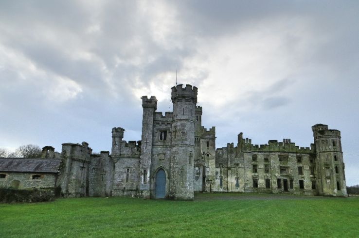
What is recorded here
Aerial photograph (GB90.CL.14, 26 July 1990) show cropmarks of a large rectilinear enclosure defined by a fosse and located due west of the graveyard. A curved fosse, probably part of an ecclesiastical enclosure surrounding the medieval church, intersects with the rectilinear enclosure; they are therefore not contemporaneous.
Compiled by: Dr Gillian Barrett for the Archaeological Survey of Ireland.
Date of upload: 29 March 2010
A large rectilinear fairy fort (ringfort/rath) in Busherstown, likely dating to the early medieval period, is visible as cropmarks in aerial photographs, defined by a fosse and situated near a possible ecclesiastical site. Local tradition may associate it with ancient druidic or fairy activity, common in such landscape features.
The monument record does not grant public access. Check the route and ask the landowner before entering private land.
- What survives
- Recorded monument
Places near here
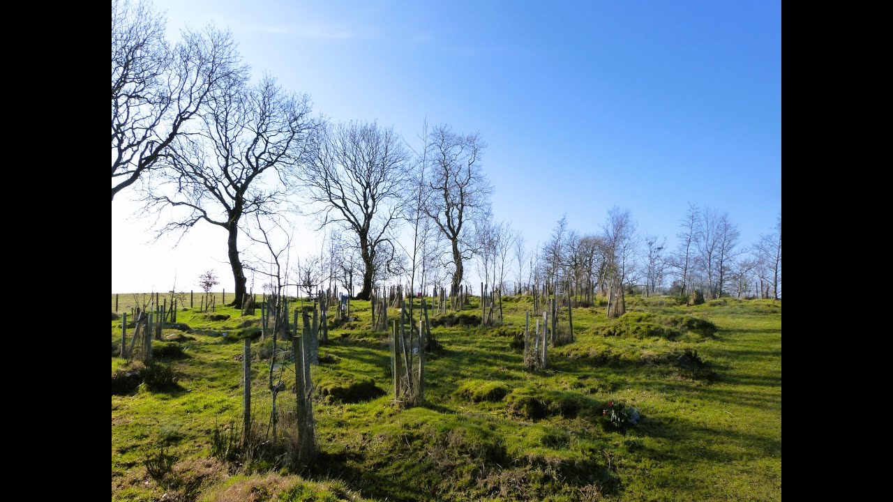 Burial GroundChurch · 125 yd
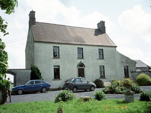 Busherstown Housefarm house · 278 yd
 Ecclesiastical enclosure in BusherstownEcclesiastical enclosure · 399 yd
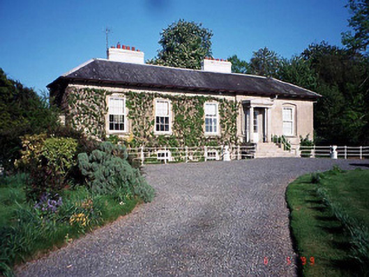 Bennekerry Lodgehouse · 1123 yd
 Graigue Castle in ruinsCastle, unclassified · 1328 yd
 Site of CastleCastle, unclassified · 1500 yd
 Brownshill Portal TombVisitor information · 1.5 mi
 Cork oakCork oak · 2.4 mi
 European YewEuropean Yew · 2.5 mi
 Carlow County MuseumMuseum · 3.4 mi
 Kilmurry Church (in ruins), GraveyardChurch · 3.5 mi
 Church (in ruins), GraveyardChurch · 4.6 mi
Other information
Photo: Credit not shown in the picture search · Rights wording not checked; contact us if this picture should be removed