
What is recorded here
The site (Wth 2.85m; D 0.47m) consists of a dense deposit of brushwood, possibly the remains of a hurdle, of uncertain orientation. In the centre, the deposit (Wth 1.05m), is up to six pieces deep with three possible sails evident. Additional dispersed elements occur below and to either side of this, extending the dimensions of the site. This site is in moderately humified Sphagnum peat with Eriophorum and frequent fibrous roots.
Compiled by: Irish Archaeological Wetland Unit (University College Dublin).
Date of upload: 23 May 2011
The monument record does not grant public access. Check the route and ask the landowner before entering private land.
- What survives
- Recorded monument
Places near here
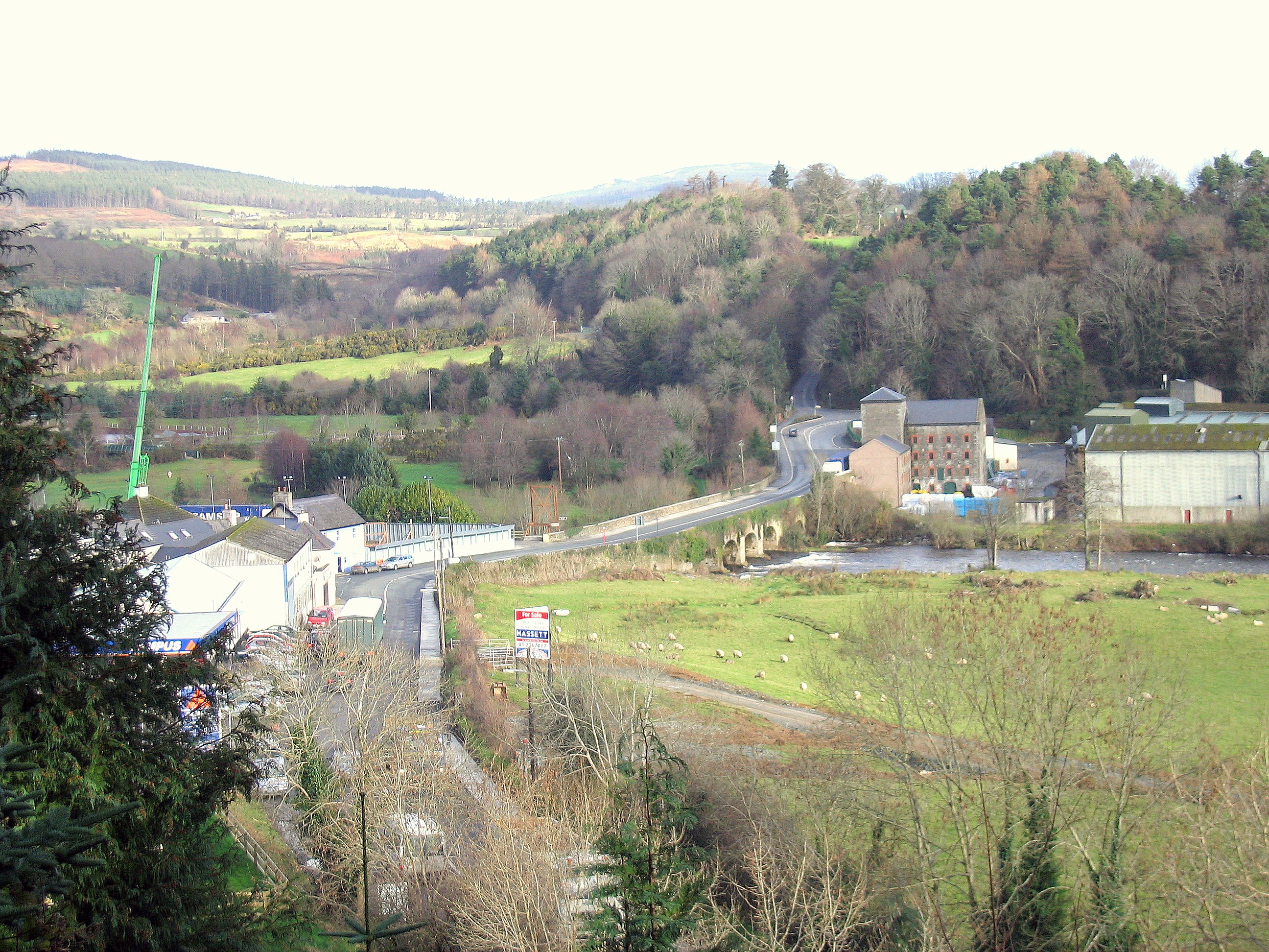 Enclosure in RathdrumEnclosure · 223 yd
 Not indciatedStructure, peatland · 293 yd
 RoadRoad, class 1 togher · 414 yd
 CastleCastle, unclassified · 1643 yd
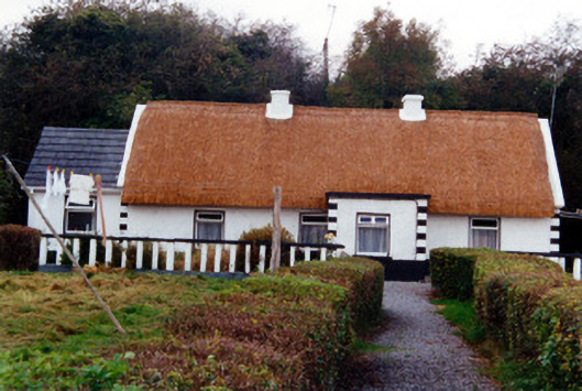 farm housefarm house · 1.0 mi
 Graveyard in BallycommonGraveyard · 1.0 mi
 Saint Clavin's WellSpring · 1.4 mi
 Kill Castle (ruins)Castle, tower house · 1.6 mi
 Cruil HillMountain / peak · 2.0 mi
 Lackan HillMountain / peak · 2.1 mi
 Children's WellSpring · 2.6 mi
 Bracklin WoodWood · 3.6 mi
Other information
Photo: Credit not shown in the picture search · Rights wording not checked; contact us if this picture should be removed