
What is recorded here
The site (L 4.5m min.; Wth 2.35m min.; D 0.30m) is orientated NW-SE on the field surface and consists of a number of probable hurdle panels. The upper surface of the site had been partially milled and fractured by machinery. The basal layer of the site consisted of 16 pegs (L 0.09-0.38m; diam. 0.01-0.03m), many of which were cut to a chisel shaped point. The short surviving lengths of these pegs suggest that may have been from an upper level of the site. Overlying these were 40-50 pieces of mixed brushwood and a roundwood, set 2-3 elements deep. These appeared to be roughly woven around the underlying pegs, in four bands orientated NNW-SSE, in a form of heavy wattling. Above this was a deposit of mixed brushwood (diam.1.4-3.5cm), with many of the elements fractured to short displaced lengths, probably as a result of use, subsequent vegetation growth and recent disturbance. These elements are lying at an angle of c. 45° angles and seem to be a mix of pegs and some displaced elements. The upper surface of the site consisted predominantly of transverse light brushwood, 1-2 rods deep. These overlay three longitudinal light brushwood elements that may have been sails. The depth of the structure may indicate separate phases of construction.
Compiled by: Irish Archaeological Wetland Unit (University College Dublin).
Date of upload: 23 May 2011
The monument record does not grant public access. Check the route and ask the landowner before entering private land.
- What survives
- Recorded monument
Places near here
 PlatformPlatform, peatland · 22 yd
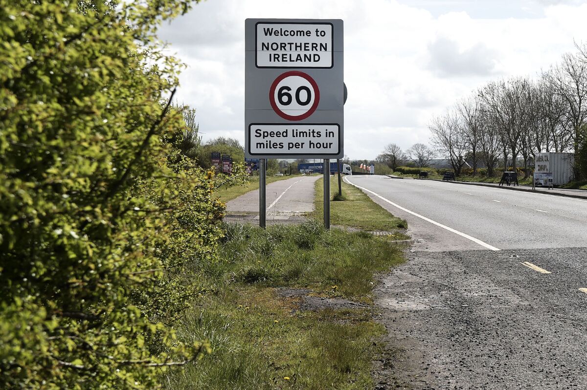 Not inidcatedRoad, class 3 togher · 33 yd
 StructureStructure, peatland · 165 yd
 Convent in RuinsReligious house, Franciscan friars · 1.1 mi
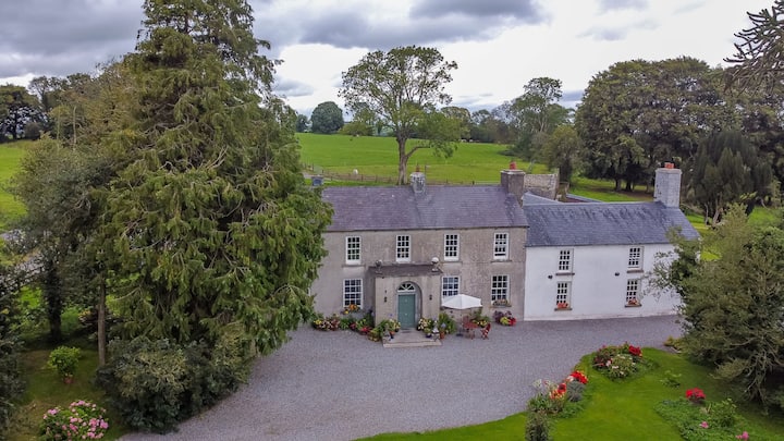 Bawn in Roscore DemesneBawn · 1.3 mi
 Castle in ruinsCastle, unclassified · 1.5 mi
 HawthornHawthorn · 1.8 mi
 European YewEuropean Yew · 1.8 mi
 Graveyard in PallasGraveyard · 2.4 mi
 Lowerton HillMountain / peak · 3.2 mi
 Ardnagross WellSpring · 3.2 mi
 Cocta HillMountain / peak · 3.4 mi
Other information
Photo: Credit not shown in the picture search · Rights wording not checked; contact us if this picture should be removed