What is recorded here
The site (L 1.1m min.; Wth 1.6m; D 0.2m) is orientated NE-SW and composed of compact heavy brushwood and light roundwoods in the drain face. The elements are longitudinally laid and are 3-4 pieces deep. The bulk of the material sits on a slight substructure of transverse, heavy brushwood. The main body of the site (Wth 1.1m) is secured on the NE side by two pegs. A number of toolmarks were recorded. Of the wood species identified, hazel was dominant, with alder, ash and willow also present. The site is in fen peat. The site has been radiocarbon dated to 381 BC-AD 22 (Beta-118033). It is located 0.24m above SMR OF018-043----, 0.25m and 3.3m NW of SMR OF018-041---- and SMR OF018-044----, respectively, and 4.5m and 3.3m SE of SMR OF018-046---- and SMR OF018-045----, respectively.
Compiled by: Irish Archaeological Wetland Unit (University College Dublin).
Date of upload: 23 May 2011
The monument record does not grant public access. Check the route and ask the landowner before entering private land.
- What survives
- Recorded monument
Places near here
 PlatformPlatform, peatland · 10 yd
 RoadRoad, class 3 togher · 33 yd
 StructureStructure, peatland · 170 yd
 Convent in RuinsReligious house, Franciscan friars · 1.2 mi
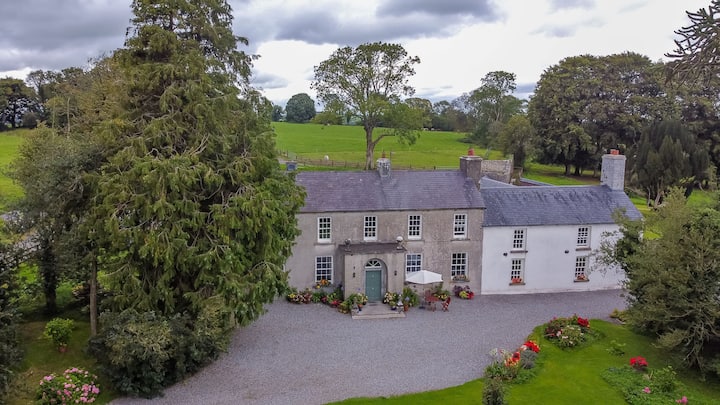 Bawn in Roscore DemesneBawn · 1.3 mi
 Castle in ruinsCastle, unclassified · 1.5 mi
 HawthornHawthorn · 1.8 mi
 European YewEuropean Yew · 1.8 mi
 Graveyard in PallasGraveyard · 2.4 mi
 Lowerton HillMountain / peak · 3.2 mi
 Ardnagross WellSpring · 3.3 mi
 Cocta HillMountain / peak · 3.4 mi
Other information
Photo: Credit not shown in the picture search · Rights wording not checked; contact us if this picture should be removed