What is recorded here
There was a church (OF024-014----) at the rear of a small pub known as the Buleball. According to Davies (ITA Survey 1942) there was a graveyard to the SW of the cross roads behind the modern dispensary. No surface remains visible of any graveyard in the field behind the Dispensary at the Blueball cross roads.
From the National Monuments Service (Archaeological Survey of Ireland) record OF024-057
The monument record does not grant public access. Check the route and ask the landowner before entering private land.
- What survives
- Recorded monument
Places near here
Enclosure in BallyfarrellEnclosure · 758 yd Saint Evehy's Church (Killoughy)Church/chapel · 1.4 miThe RectoryRectory/glebe/vicarage/curate's house · 1.5 miLowerton HillMountain / peak · 1.5 miArdnagross WellSpring · 2.8 miWild Cherry3.0 miSugar HillMountain / peak · 3.1 miHawthorn3.5 miBallycowan CastleCastle · 4.1 miCharleville CastleCastle · 4.3 miGraveyard4.5 miLough Boora Sculpture ParkMuseum · 4.9 mi
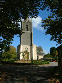 Saint Evehy's Church (Killoughy)Church/chapel · 1.4 mi
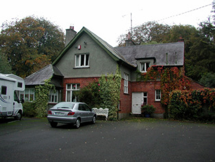 The RectoryRectory/glebe/vicarage/curate's house · 1.5 miLowerton HillMountain / peak · 1.5 miArdnagross WellSpring · 2.8 mi
 Wild Cherry3.0 miSugar HillMountain / peak · 3.1 mi
 Hawthorn3.5 mi
 Ballycowan CastleCastle · 4.1 mi
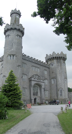 Charleville CastleCastle · 4.3 mi
 Graveyard4.5 mi
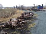 Lough Boora Sculpture ParkMuseum · 4.9 mi
Pictures: National Inventory of Architectural Heritage; MPF, Wikimedia Commons · CC BY 2.5; Didier Descouens, Wikimedia Commons · CC BY-SA 4.0; Kieran Campbell, Wikimedia Commons · CC BY-SA 2.0; User:Jgillett, Wikimedia Commons · Public domain; Kieran Campbell, Geograph · Creative Commons Attribution-ShareAlike 2.0; Oliver Dixon, Wikimedia Commons · CC BY-SA 2.0
More memorials and graveyards in County Offaly · All of County Offaly
What do you know about this place?