What is recorded here
The site (Wth 1.8m; D 0.55m) is orientated E-W and composed of densely laid roundwoods and brushwood in opposing drain faces. The depth of material is considerable and it possibly represents several phases of construction or a number of structures. The wood is longitudinally laid (diam. max. 0.09m). Most of the brushwood is concentrated in the upper, SE side of the deposit where it is flanked by four large roundwoods, with two similar roundwoods 0.4m to the N. A single chisel point was recorded. The wood is in poor condition. The site is in Phragmites peat and is located 3.7m and 4.5m SE of SMR OF018-047---- and SMR OF018-048----, respectively, at the SE end of a small cluster of sites.
Compiled by: Irish Archaeological Wetland Unit (University College Dublin).
Date of upload: 23 May 2011
The monument record does not grant public access. Check the route and ask the landowner before entering private land.
- What survives
- Recorded monument
Places near here
 PlatformPlatform, peatland · 4 yd
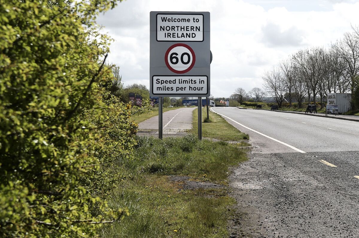 Not inidcatedRoad, class 3 togher · 15 yd
 RoadRoad, class 3 togher · 19 yd
 StructureStructure, peatland · 164 yd
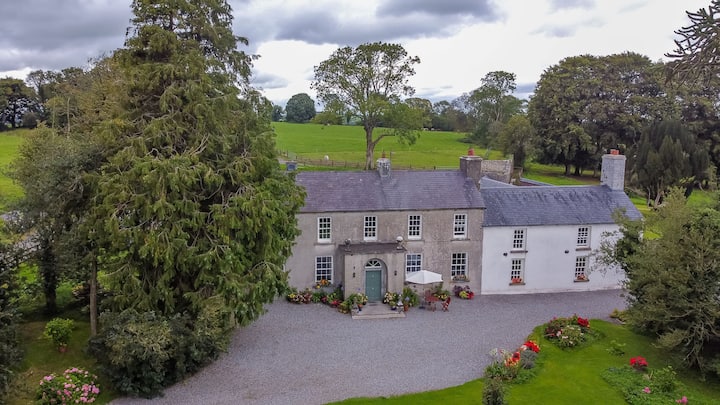 Bawn in Roscore DemesneBawn · 1.3 mi
 Castle in ruinsCastle, unclassified · 1.5 mi
 HawthornHawthorn · 1.8 mi
 European YewEuropean Yew · 1.8 mi
 Graveyard in PallasGraveyard · 2.4 mi
 Lowerton HillMountain / peak · 3.2 mi
 Ardnagross WellSpring · 3.3 mi
 Cocta HillMountain / peak · 3.4 mi