
What is recorded here
The site (Wth 0.84m; D 0.08m) consisting of two radially split timbers and a radially split stake with a further timber in the opposing drain face. The overall site orientation is indiscernible. Two of the horizontal elements are parallel and set slightly apart with the stake 0.46m to the SE. This site is in moderately humified Sphagnum peat containing pockets of Eriophorum.
Compiled by: Irish Archaeological Wetland Unit (University College Dublin).
Date of upload: 23 May 2011
The monument record does not grant public access. Check the route and ask the landowner before entering private land.
- What survives
- Recorded monument
Places near here
 Not indciatedStructure, peatland · 225 yd
 RoadRoad, class 1 togher · 274 yd
 StructureStructure, peatland · 346 yd
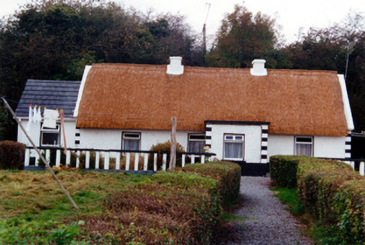 farm housefarm house · 1.0 mi
 Graveyard in BallycommonGraveyard · 1.2 mi
 Saint Clavin's WellSpring · 1.4 mi
 Kill Castle (ruins)Castle, tower house · 1.5 mi
 Partially hachuredBawn · 1.6 mi
 Cruil HillMountain / peak · 2.0 mi
 Lackan HillMountain / peak · 2.1 mi
 Children's WellSpring · 2.7 mi
 Bracklin WoodWood · 3.8 mi
Other information
Photo: Credit not shown in the picture search · Rights wording not checked; contact us if this picture should be removed