What is recorded here
In reclaimed grassland. Cropmark of ring-ditch (diam. c. 5m) visible on OSi orthoimagery.
See attached OSi orthophoto
Compiled by: Caimin O'Brien based on details provided by Jean-Charles Caillère
Date of upload: 19 July 2022
The monument record does not grant public access. Check the route and ask the landowner before entering private land.
- What survives
- Recorded monument
Places near here
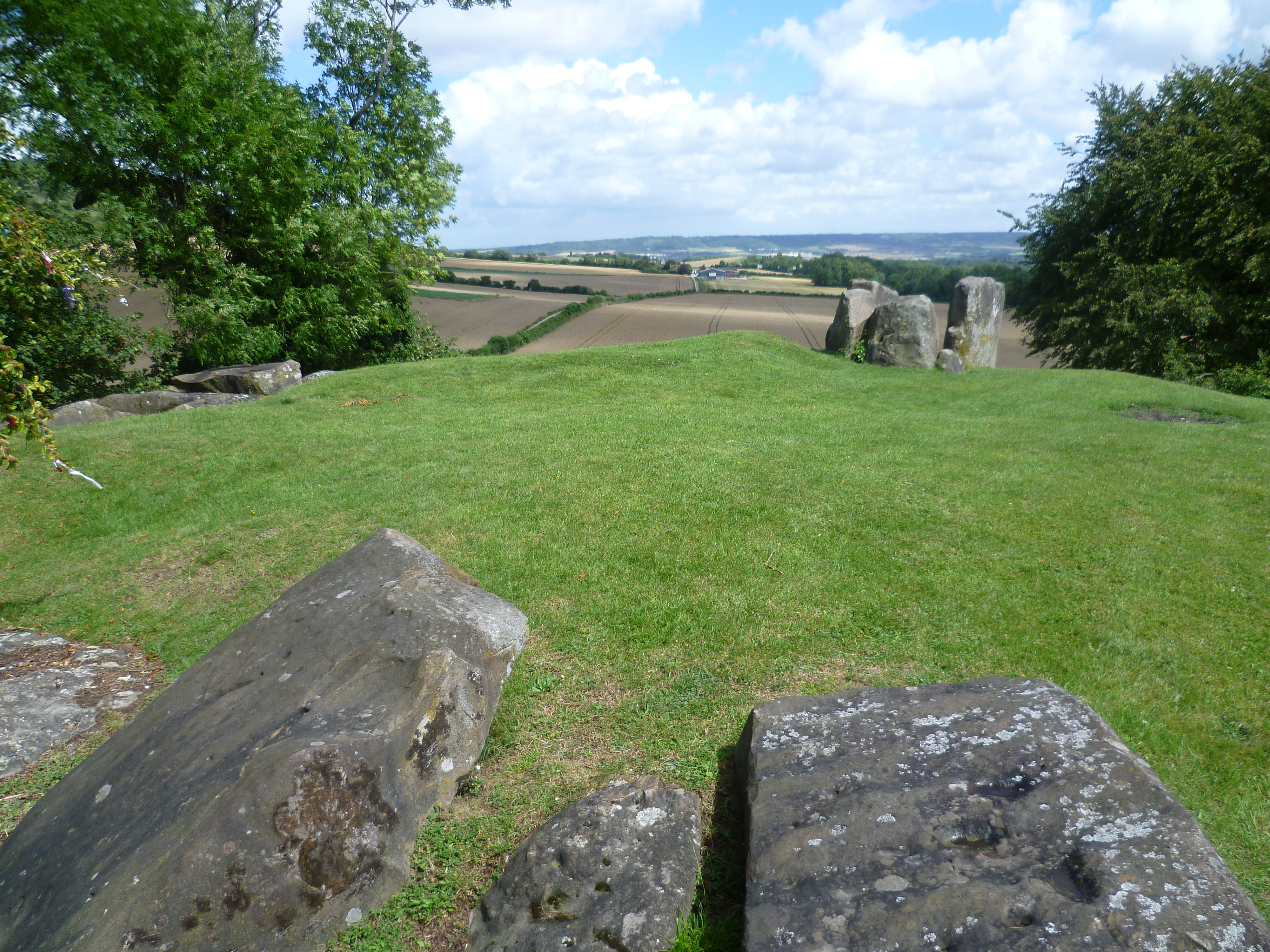 BarrowBarrow, ring-barrow · 808 yd
 Bawn in CarrigarreelyBawn · 984 yd
 Highpark Housecountry house · 1174 yd
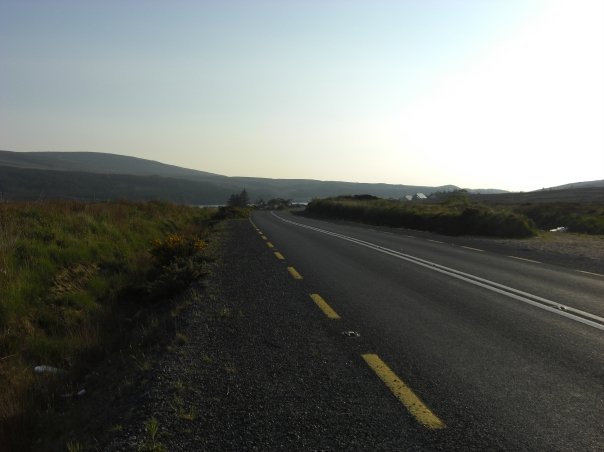 RoadRoad, road/trackway · 1228 yd
 Enclosure in CloghnadrominEnclosure · 1565 yd
 CastleCastle, unclassified · 1674 yd
 St Lawrence's WellSpring · 1.6 mi
 Wych ElmWych Elm · 1.8 mi
 Graveyard in AbingtonGraveyard · 3.2 mi
 Sliev Felim WayVisitor information · 4.6 mi
 Skool HillMountain / peak · 4.9 mi
 Banoge's WellSpring · 4.9 mi