What is recorded here
In tillage. A ring-ditch (diam. c. 20m) identified as a cropmark on aerial photograph (GB91.EQ.07, 20 August 1991). Also visible on this aerial photograph are three other ring-ditches, (KK014-140----; KK014-142----; KK014-141----) which lie c. 50m to the NW, c. 110m to the WNW and c. 240m to the NW respectively. Since the aerial photograph was taken a road (R693) has been built running NW-SE between KK014-139---- and KK14-140----, which are E of the road, and KK014-141---- and KK014-142----, which are W of the road.
Compiled by: Jean Farrelly and Dr. Gillian Barrett for the Archaeological Survey of Ireland
Date of revised upload: 19 June 2020
The monument record does not grant public access. Check the route and ask the landowner before entering private land.
- What survives
- Recorded monument
Places near here
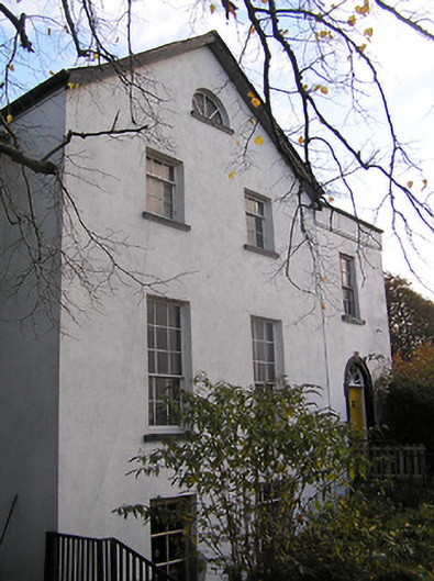 The Old Rectoryrectory/glebe/vicarage/curate's house · 241 yd
 Castle (in ruins)Castle, tower house · 285 yd
 Church (in ruins)Church · 295 yd
 Graveyard in ThreecastlesGraveyard · 296 yd
 IndicatedCastle, motte · 434 yd
 Enclosure in ThreecastlesEnclosure · 616 yd
 Enclosure in Ballycarran LittleEnclosure · 619 yd
 Turkey OakTurkey Oak · 692 yd
 Jenkinstown ParkForest · 2.2 mi
 Saint Coleman's WellSpring · 2.3 mi
 Emma Jane Browne-ClaytonMemorial · 3.3 mi
 Freshford LoopWalking route · 3.5 mi