
What is recorded here
On the flat flood plain of the River Nore, in reclaimed grassland. There are very good views along and across the valley in all directions. A rectilinear enclosure, roughly square in shape (dims. c. 30m square), showing as cropmark on aerial photograph (CUCAP BOD098, 10 July 1973). It is not visible at ground level.
See attached aerial photograph:
KK014-024----_01 CUCAP BOD098, 10 July 1973
Compiled by: Jean Farrelly
Date of upload: 19 May 2020
The monument record does not grant public access. Check the route and ask the landowner before entering private land.
- What survives
- Recorded monument
Places near here
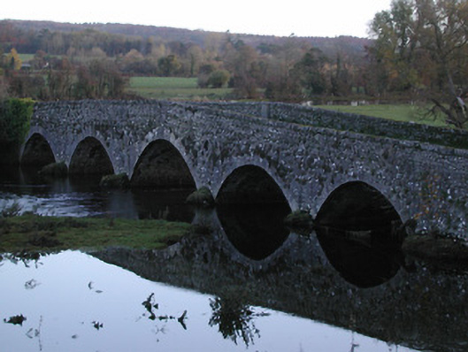 Threecastles Bridgebridge · 302 yd
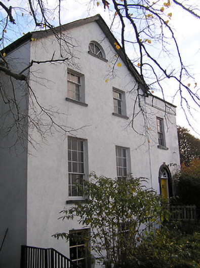 The Old Rectoryrectory/glebe/vicarage/curate's house · 431 yd
 Castle (in ruins)Castle, tower house · 440 yd
 Graveyard in ThreecastlesGraveyard · 446 yd
 IndicatedCastle, motte · 518 yd
 Enclosure in ThreecastlesEnclosure · 841 yd
 Turkey OakTurkey Oak · 850 yd
 Promontory fortPromontory fort, inland · 975 yd
 Jenkinstown ParkForest · 1.9 mi
 Saint Coleman's WellSpring · 2.0 mi
 Emma Jane Browne-ClaytonMemorial · 3.4 mi
 Freshford LoopWalking route · 3.7 mi
Other information
Photo: Credit not shown in the picture search · Rights wording not checked; contact us if this picture should be removed