
What is recorded here
Indicated, Threecastles Demesne is a castle motte on a Kilkenny ridge above the River Nore, marking a fording point and the lands once taken from the Ui Duach. Its broad flat-topped mound still rises beside a shallow southern fosse, but late nineteenth-century work covered the old surface in a maze of paths, banks and a small castellated folly. The place preserves more of memory than martial clarity: a border marker dressed as a garden, watching the river through layers of forgetting.
On a prominent E-W ridge running along the S bank of the River Nore, which lies c. 120m to the N. The slight elevation gives a commanding view across the Nore valley in all directions and over a fording point of the river. According to Carrigan (1905, vol. 2, 267) the origin of the medieval name for Threecastles of 'Odagh' derives from the Ui Duach tribe whose lands here where taken by the Anglo-Normans and, 'under the name of the Manor of Odogh, was made part of the Lordship of Leinster, granted to Earl Strongbow by Henry II'. The initial castle erected here was the motte.
It consists of a very large flat-topped conical mound (top diam. c. 55m; H 9m to base of fosse) enclosed by a fosse (D c. 2m) on the S side but is not evident on the N side where the ground slopes gradually down towards the river. A lime-kiln has been built into the outer face of the fosse in the S sector. Carrigan (ibid. 268), notes that the 'top surface of the moat has been remodelled in recent times [late 19th century] and all its ancient features have been obliterated'. This is evident on the top of the mound which is covered with a maze of pathways (Wth c. 2m) between banks and platforms of earth (H 1.5-2.5m) and there is a small castellated folly on the N side. The sides of the motte have also been landscaped, forming a series of steep slopes and flat narrow terraces (Wth 2m).
Compiled by: Jean Farrelly
Date of upload: 20 May 2020
Built by the Normans in the late 12th or early 13th century, Threecastles Demesne is significant for its strategic location overlooking the River Nore, facilitating control over the ford and surrounding valley.
The monument record does not grant public access. Check the route and ask the landowner before entering private land.
- What survives
- Recorded monument
Places near here
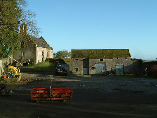 Threecastles Housefarmyard complex · 146 yd
 Graveyard in ThreecastlesGraveyard · 162 yd
 Church (in ruins)Church · 169 yd
 Castle (in ruins)Castle, tower house · 177 yd
 Turkey OakTurkey Oak · 350 yd
 Enclosure in Ballycarran LittleEnclosure · 518 yd
 Enclosure in ThreecastlesEnclosure · 993 yd
 Ardaloo Castle (in ruins)Castle, unclassified · 1307 yd
 Jenkinstown ParkForest · 2.0 mi
 Saint Coleman's WellSpring · 2.2 mi
 Emma Jane Browne-ClaytonMemorial · 3.5 mi
 Freshford LoopWalking route · 3.8 mi
Other information
Photo: Credit not shown in the picture search · Rights wording not checked; contact us if this picture should be removed