
What is recorded here
A roughly circular enclosure (diam. c. 45m) identified as the cropmark of a fosse on an aerial photograph (19 June 2020). There is some natural soil staining within and around the edge of the W quadrant, suggesting the ground is wetter in this area. The N-NE portion of the enclosure has been truncated by scarping along side the public road (R693).
See attached aerial photograph by Dan Lenehan.
Compiled by: Jean Farrelly
Date of upload: 22 June 2020
A local fairy fort (ringfort/rath); wider significance not recorded.
The monument record does not grant public access. Check the route and ask the landowner before entering private land.
- What survives
- Recorded monument
Places near here
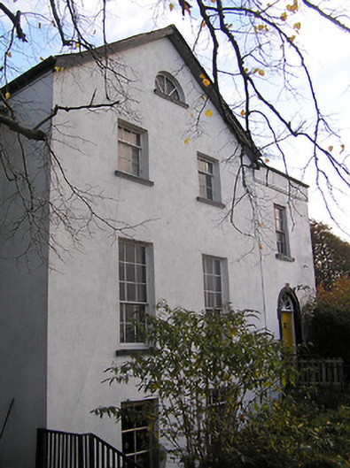 The Old Rectoryrectory/glebe/vicarage/curate's house · 757 yd
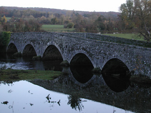 Threecastles Bridgebridge · 814 yd
 Castle (in ruins)Castle, tower house · 816 yd
 Promontory fortPromontory fort, inland · 820 yd
 Graveyard in ThreecastlesGraveyard · 831 yd
 Enclosure in Ballycarran LittleEnclosure · 841 yd
 IndicatedCastle, motte · 993 yd
 Turkey OakTurkey Oak · 1299 yd
 Jenkinstown ParkWood · 2.1 mi
 Saint Coleman's WellSpring · 2.3 mi
 Emma Jane Browne-ClaytonMemorial · 3.0 mi
 Freshford LoopWalking route · 3.2 mi
Other information
Photo: Credit not shown in the picture search · Rights wording not checked; contact us if this picture should be removed