
What is recorded here
From the National Monuments Service (Archaeological Survey of Ireland) record LH017-126
Places near here
Photo credits
- Maker not stated on source page, en.wikipedia.org
- Maker not stated on source page, www.pinterest.com
- National Inventory of Architectural Heritage
- Maker not stated on source page, nigelborrington.com
- Maker not stated on source page, de.wikipedia.org
- LMFM; photographer not named, Source publisher
- Photographer not named on LMFM article, www.lmfm.ie
- Maker not stated on source page, commons.wikimedia.org
- Rainer Lippert, Wikimedia Commons · CC0
- Maker not stated on source page, www.flickr.com
- Nuala Furley, Wikimedia Commons · CC BY-SA 4.0
 Church (in ruins)Church · 668 yd
Explorer Tom Church in Shanlis is playing hard to get in County Louth. Two lads once bet a pint that they could build it from…
 Shanlis GraveyardGraveyard · 669 yd
Explorer Tom Shanlis Graveyard in County Louth famously turned down a visit from a bishop because he was wearing shoes that squeaked…
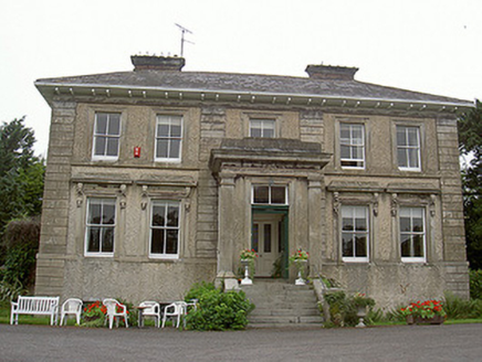 Shanlis HouseCountry house · 814 yd
Explorer Tom Shanlis House claims to be older than the pig faces on its brackets, which is a wild claim I’m buying. It’s all…
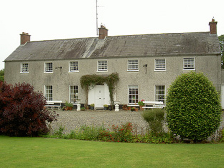 Curraghbeg HouseCountry house · 962 yd
Explorer Tom Curraghbeg House is doing its best to look like a polite country gentleman in a very muddy field, with that gorgeous…
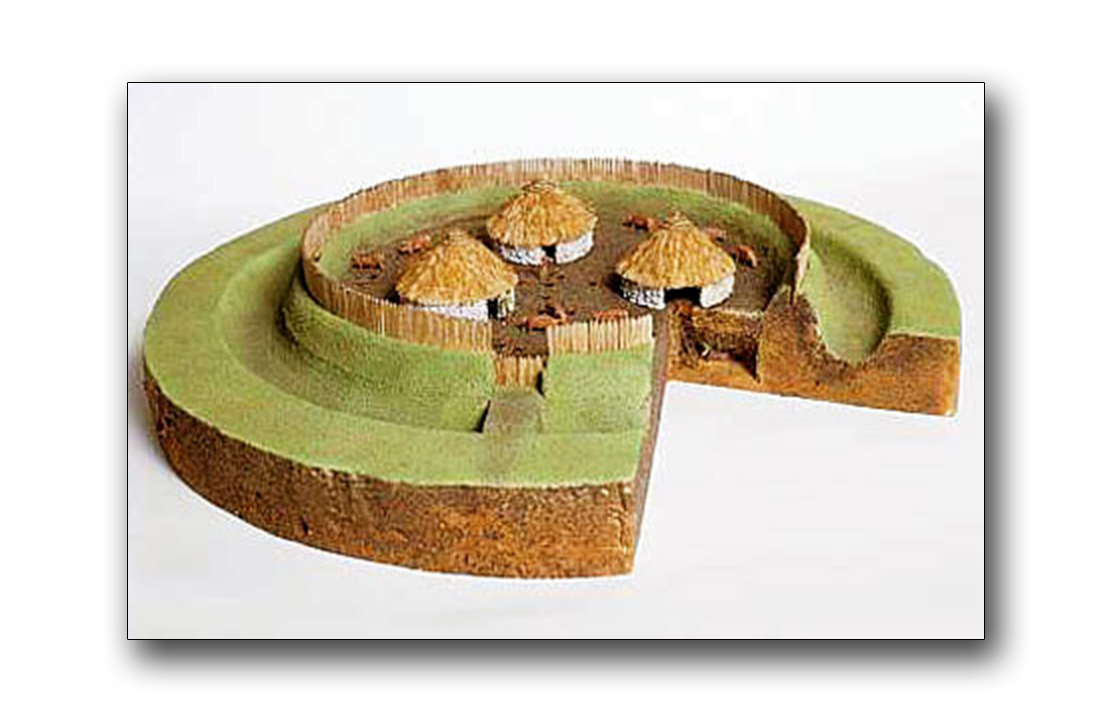 Fairy fort / earthen ringfort in BlakestownFairy fort / earthen ringfort · 1308 yd
Explorer Tom Saint Patrick would’ve looked at Blakestown’s quarried fort and sighed deeply, muttering about modern shortcuts ruining…
 Holed Stone1439 yd
Explorer Tom Holed Stone in Hurlstone is stuck in the pasture, looking like it wants to tell you about 1800s drama but has no Wi-Fi.…
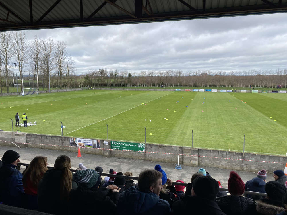 Defy Páirc MhuireGAA ground · 1478 yd
Explorer Tom Páirc Mhuire in Ardee has the fine trick of being a club home and a county battleground at once. Louth beat Derry here…
St. Mary's GAA, ArdeeGAA ground · 1484 yd Standing stone in PurcellstownStanding stone · 1619 yd
Explorer Tom Standing stone in Purcellstown is perched on a ridge, looking exactly what it would say if it had a dating profile…
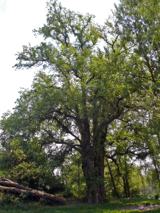 European White Elm1.2 mi
Explorer Tom European White Elm in County Louth is hiding a scandal from centuries ago involving a stolen shoe and a very angry…
 Graveyard in RathlustGraveyard · 1.4 mi
Explorer Tom Rathlust’s circular graveyard hides a church on a small hill that vanished into legend. A priest lost a bet there…
 CastleCastle, tower house · 1.5 mi
Explorer Tom The Townparks Courthouse would bring a four-hundred-year-old grudge to any party, plus some stale biscuits. It’s still…
More archaeology and monuments in County Louth · All of County Louth

What do you know about this place?Tap to add a comment or ask a question