What is recorded here
Situated on a fairly level landscape. The cropmarks of two small features are visible only on Google Earth (21/07/2021). This is an indistinct circular area (int. diam. c. 4m) defined by a single continuous fosse (ext. diam. c. 9m). The ring-ditch (LH019-037001-) is c. 8m to the NNW. The features were first reported by Jean Charles Caillére.
See the attached enhanced view from Google Earth (21/07/2021)
Compiled by: Michael Moore
Date of upload: 22 October 2021
The monument record does not grant public access. Check the route and ask the landowner before entering private land.
- What survives
- Recorded monument
Places near here
 Church (in ruins)Church · 697 yd
 Enclosure in ParsonstownEnclosure · 1097 yd
 Enclosure in MayneEnclosure · 1259 yd
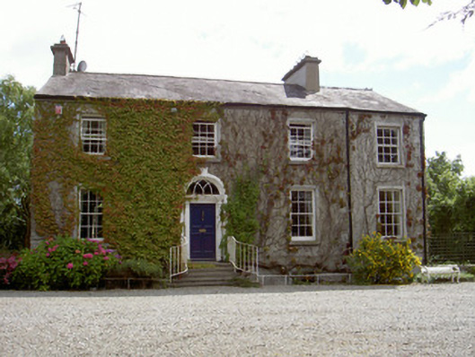 Walshestown Housecountry house · 1.1 mi
 Chapel (in Ruins), GraveyardChurch · 2.1 mi
 Moneyveg WoodForest · 2.1 mi
 IndicatedCastle, tower house · 2.3 mi
 Castle RuinsCastle, tower house · 2.3 mi
 Graveyard in DysartGraveyard · 2.4 mi
 Sweet baySweet bay · 2.6 mi
 Tullydonnell HillMountain / peak · 3.4 mi
 MonasterboiceEarly monastic site · 6.1 mi