
What is recorded here
The following description is derived from both the published 'Archaeological Inventory of County Louth' (Dublin: Stationery Office, 1986) and the 'Archaeological Survey of County Louth' (Dublin: Stationery Office, 1991). In certain instances the entries have been revised and updated in the light of recent research.
Date of upload/revision: 17 July 2007
Built of uncoursed rubble, greywacke and limestone, it has an undivided nave and chancel (max. dims. 10.35m by 4.5m) with opposing doorways in the W end of the N and S walls and one window in each of the four walls. The doorways have pointed two-centred arches of limestone which are punch-dressed and chamfered; both have bolt holes and stop-chamfers. The W gable has the remains of a double bellcote and an almost central single-light window constructed of punch-dressed limestone. There is a double-light ogee-headed window in the E end of the S wall and a single one in the N wall opposite. They are constructed of punch-dressed limestone, with glazing bar holes and grooves. There is a blocked ope in the centre of the S wall, indicated by a slightly rounded arch of greywacke, which must be the remains of another window. The E window is destroyed except for part of the sill. It had a double-light window of limestone and was almost certainly like the one in the S wall. At the E end of the S wall are the remains of a small two-tiered recess and inside the S doorway to the E side is another one, probably to hold a holy water stoup. There are vertical breaks in the N and S walls opposite each other just E of the doorways but they are too close to the W end of the church to be the remains of a wooden rood screen. This building is a well preserved example of a late medieval parish church, possibly built in 1528. (CLAJ 1944, 291)
The monument record does not grant public access. Check the route and ask the landowner before entering private land.
- What survives
- Recorded monument
Places near here
 Enclosure in ParsonstownEnclosure · 855 yd
 IndicatedHouse, 18th/19th century · 1497 yd
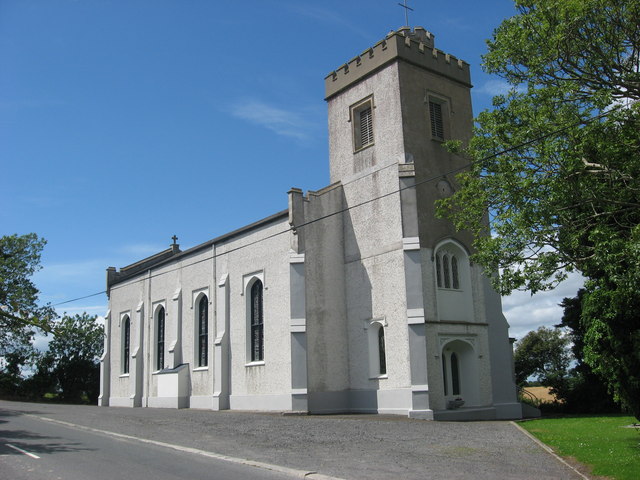 Catholic Church of Saint Peter and Saint Paulchurch/chapel · 1693 yd
 Enclosure in LurganboyEnclosure · 1743 yd
 Moneyveg WoodForest · 1.8 mi
 Chapel (in Ruins), GraveyardChurch · 1.9 mi
 Graveyard in DysartGraveyard · 2.0 mi
 Sweet baySweet bay · 2.2 mi
 BarmeathCastle, tower house · 2.2 mi
 Castle RuinsCastle, tower house · 2.7 mi
 Tullydonnell HillMountain / peak · 3.0 mi
 MonasterboiceEarly monastic site · 6.0 mi
Other information
Photo: Kieran Campbell · CC BY-SA 2.0