
What is recorded here
From the National Monuments Service (Archaeological Survey of Ireland) record KD014-007003
Places near here
Photo credits
- Maker not stated on source page, www.pinterest.com
- Maker not stated on source page, commons.wikimedia.org
- Maker not stated on source page, in.pinterest.com
- Maker not stated on source page, en.topwar.ru
- Maker not stated on source page, monumentalireland.ie
- National Inventory of Architectural Heritage
- Maker not stated on source page, fi.pinterest.com
- Golfing in Ireland; photographer not stated, Source publisher
- Kmcnamee, Wikimedia Commons · CC BY-SA 4.0
- JP, Geograph · CC BY-SA 2.0
 Cross-inscribed stone in MainhamCross-inscribed stone · 107 yd
Explorer Tom Cross-inscribed stone in Mainham witnessed a love story that went badly wrong right next to it. It’s a thin limestone…
 Mapped graveyardGraveyard · 119 yd
Explorer Tom A cow once tried to buy this mapped graveyard in Kildare because she thought the grass looked particularly tender and…
 Church (in Ruins)Church · 119 yd
Explorer Tom Church in Mainham would order a large chipper and ask for extra vinegar. It’s a fortified rectangular church with a…
 Mapped cemeteryCemetery · 162 yd
Explorer Tom This Mapped Cemetery has a dramatic rivalry with the nearest tree over who gets the best sunlight each morning. The…
Mainham CemeteryCemetery · 216 ydExplorer Tom Mainham Cemetery was built on a bargain where the landowner got eternal silence in exchange for free parking rights. He…
 Enclosure in Ballynagappagh (clane Ed)Enclosure · 931 yd
Explorer Tom This final Enclosure in Ballynagappagh thinks the builder was really thinking about lunch when they dug this hole. It’s…
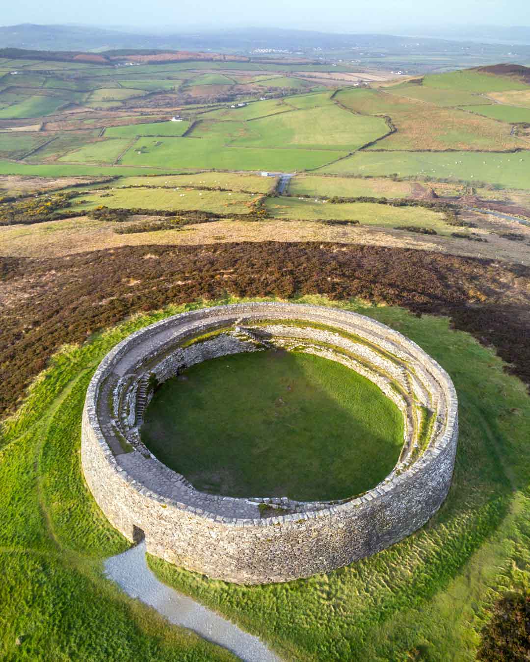 Fairy fort / earthen ringfort in Ballynagappagh (clane Ed)Fairy fort / earthen ringfort · 1607 yd
Explorer Tom Fairy fort / earthen ringfort in Ballynagappagh is doing a bit of New Year's Eve prep, though it looks like it ploughed…
 farm house1.2 mi
Explorer Tom Farm house in Ballynagappagh hates when people call it rustic because it thinks 'rustic' sounds like something that…
 Richardstown CastleArchaeological place · 1.2 mi
Explorer Tom Richardstown Castle is playing hard to get, refusing to crumble even though it's had centuries to sort itself out. It’s…
 Clane Golf ClubGolf course · 1.3 mi
 Rathcoffey GAA pitchGAA ground · 1.3 mi
 Grand Canal WayWalking route · 2.7 mi
Explorer Tom Grand Canal Way in County Kildare is where the rabbits hold their weekly strategy meetings, usually deciding which lock…
More archaeology and monuments in County Kildare · All of County Kildare

What do you know about this place?Tap to add a comment or ask a question