DDiscover AloneMapAbout

Ring-ditch in Knocks

Ring-ditch
Computer-made picture that does not show Ring-ditch in KnocksNot a photo of this monument
Computer-made picture. It does not show this monument. · Report the wrong picture

The monument record does not grant public access. Check the route and ask the landowner before entering private land.

What do you know about this place?Tap to add a comment or ask a question

What you write will be public.

What is recorded here

Situated on a slight rise in a fairly level landscape, c. 140m S of an ENE-WSW portion of the canalised headwaters of one of the sources of the S-N River Skane. It was first identified as a low mound in a geophysical survey. Archaeological centre-line testing (04E0478) by T. O’Neill of Testing Area 16 of Contract 1,…

Read the whole record
Situated on a slight rise in a fairly level landscape, c. 140m S of an ENE-WSW portion of the canalised headwaters of one of the sources of the S-N River Skane. It was first identified as a low mound in a geophysical survey. Archaeological centre-line testing (04E0478) by T. O’Neill of Testing Area 16 of Contract 1, prior to the construction of the M3 motorway and its related works identified archaeological deposits (excavations.ie: 2004:1279) that were completely excavated (E003044) by S. Elder as Knocks 1 from November 2005 to January 2006 (excavations.ie 2005:AD11). This proves to be a spread of clay with a small amount of burnt stone covering several pits, post-holes and stake-holes that are within a circular enclosure defined by a narrow ditch, but the co-location of a fulacht fia and ring-ditch could be wholly fortuitous. The enclosure (int. diam. 31.5m N-S; 30m E-W) is defined by a narrow fosse which was originally dug in eight segments that were later connected by extending the sections. This has resulted in nine bulbous ditch terminals in the course of the ditch, either intact or wholly or partially removed, as well as the terminals around the entrance gap (Wth 1.9m) at N where the W terminal oversails the E. The ditch sections varied greatly in character, being either V-shaped or U-shaped and cut to varying widths and depths (Wth of top 0.9-1.25m; D 0.3-0.65m). A straight section at SE and an incurving portion at SW distort its circularity as does an in-turning at NW where two section of ditch do not quite join up. The fills extended through the sections, but in the S third where the ditch was cut into a yellow clay subsoil it was filled almost exclusively with this material. Elsewhere the fosse was cut through gravel and compacted clay, and was filled with a succession of silts and gravelly clay slumped from the sides. Animal bone was recovered exclusively from the layer above the primary silting throughout the fosse, and a pig humerus from this produced a C14 date of 970-820 cal. BC) while a bone sample from another part of the fosse provided a determination of 920-800 cal. BC placing the enclosure firmly in the Late Bronze Age. None of the internal features can be related through stratigraphy to the enclosure ditch, and its function cannot be determined, although it is likely to be settlement rather than funereal as no human bone was recovered from the fosse. (Elder 2009, 3-5) See the attached plan from Elder (2009, fig. 7) Compiled by: Michael Moore Date of upload: 9 December 2021 O’Neill, T. 2004 M3 Clonee - North of Kells, Contract 1 Clonee – Dunshaughlin. Final Report on Archaeological Assessment at Testing Area 16 Knocks, Readsland, Co. Meath. Licence: 04E0478. Unpublished report, Archaeological Consultancy

From the National Monuments Service (Archaeological Survey of Ireland) record ME044-057001

Places near here

Photo credits
  • National Inventory of Architectural Heritage
  • Thomas Nugent, Geograph · CC BY-SA 2.0
  • C O'Flanagan, Geograph · CC BY-SA 2.0
  • C O'Flanagan, Wikimedia Commons · CC BY-SA 2.0
  • Neil Forrester, Co.Meath, Ireland. http://neil.forrester.ie, Wikimedia Commons · CC BY 3.0
  • Patrick Brown, Wikimedia Commons · CC BY-SA 2.0
  • August Schwerdfeger, Wikimedia Commons · CC BY 4.0
  • Matthew Chadwick, Wikimedia Commons · CC BY-SA 2.0
  • Anthony Foster, Geograph · CC BY-SA 2.0
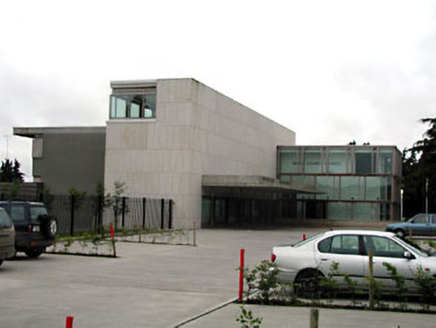
Dunshaughlin Civic OfficesOffice · 1288 yd

Explorer Tom Dunshaughlin Civic Offices in Dunshaughlin thinks it’s too cool to need heating or cooling, which is bold for an office building. It’s got a contemporary design that makes other buildings feel outdated and a bit jealous. Go at sunset and thank me later.
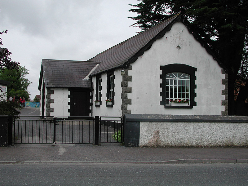
Dunshaughlin National SchoolSchool · 1396 yd

Explorer Tom Dunshaughlin National School in Dunshaughlin is built on top of a legend about a giant who lost his keys. The 1887 date on the plaque is the only thing keeping it grounded. Stand where the owner would be if they were there to tell you off.

Killeen CastleCastle, tower house · 2.3 miCastleCastle, motte · 2.9 mi

Explorer Tom Castle in Culmullin was taken over by a fox for a week last winter who set up home base in the trees. The mound is just a big flat hill with no ditch, which makes it look like it forgot to bring its moat. Get a photo with it before it gets a better agent.
Dunsany CrossCross, Wayside cross · 3.1 miLaurel WoodsWood · 3.1 miRath MeaveHenge · 4.5 miBattle of Tara HillBattle · 5.2 miBattle of Tara (Ireland)Major battlefield · 5.2 mi

Explorer Tom Battle of Tara (Ireland) in County Meath has had more names than I have socks in my drawer right now. Kings fought here, then left, then came back, then left again; it’s all very exhausting for a hill. Have a nosey, politely.

Lia Fáil: Hill of TaraLegend location · 5.3 mi

Explorer Tom Lia Fáil: Hill of Tara is a stone with high standards. Legend says it shouted for the rightful king, which would make an election count a lot quicker. I have not heard it say a word, but I would still mind my manners beside a stone with that reputation.

Hill of TaraMountain / peak · 5.4 miSaint Patrick'sMemorial · 5.4 mi

More archaeology and monuments in County Meath · All of County Meath

Add to this placeAdd a picture Add a detailed tip Add a story

Explore the map1,093,392 places to discover

Next place · or swipeDunshaughlin Civic Offices