What is recorded here
Situated on a fairly level landscape with a S-N meandering stream c. 70m to the E. The cropmark of a small circular enclosure (diam. c.10m) is visible on aerial images (ME037-003002-_1 to _3) taken in July 2108. The rath (ME037-003001-) is c. 90m to the S.
See the attached view courtesy of Oliver and Noel Murphy
Compiled by: Michael Moore based on details provided by Oliver and Noel Murphy.
Date of upload: 7 August, 2018
The monument record does not grant public access. Check the route and ask the landowner before entering private land.
- What survives
- Recorded monument
Places near here
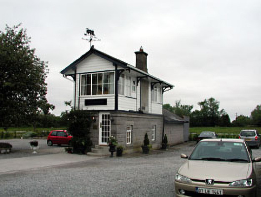 signal boxsignal box · 399 yd
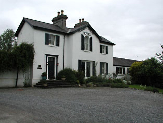 railway stationrailway station · 430 yd
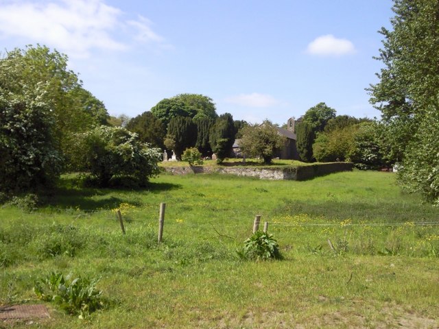 IndicatedGraveyard · 1166 yd
 CastleCastle, unclassified · 1576 yd
 Enclosure in Balreask (deece Lower By.)Enclosure · 1.3 mi
 Beech & Oak WoodWood · 1.7 mi
 CrockaphobbieWood · 1.8 mi
 Assey CastleCastle, tower house · 2.0 mi
 Battle of Tara (Ireland)Major battlefield · 2.3 mi
 Battle of Tara Hillbattle · 2.3 mi
 Saint Patrick'sMemorial · 2.4 mi
 Tara Open StudioGallery · 2.5 mi