
What is recorded here
Situated on a fairly level landscape with a S-N section of a small stream c. 90m to the E and a W-E section of the River Boyne c. 170m to the N. The parish church of Assey (ME031-011----) is c. 60m to the N. According to the Civil Survey (1654-6) Mathias Barnwall, Lord of Trimblestown (ME036-003----), owned 177 acres at Assey in Deece barony in 1640, and the property included ‘a Castle, a Corne Mill, a Church and several Cottages’ (Simington 1940, 134), although the castle is not depicted on the Down Survey (1656-8) barony map (http://downsurvey.tcd.ie/). It was described by Wilde (1850, 117) as a square keep with circular towers at opposing corners, but it is illustrated by Grosse (1791, vol. 2, 17) with square corner towers topped by gables with chimneys, suggesting a seventeenth century date. It has been removed since 1940s and no trace of it survives. Archaeological testing (05E1050) by P. D. Sweetman c. 30m to the SE produced no related material (excavations.ie 2005:1178), and further testing (10E0219) by P.D. Sweetman c. 90m to the E had a similar outcome (excavations.ie 2010:510).
The above description is derived from the published 'Archaeological Inventory of County Meath' (Dublin: Stationery Office, 1987). In certain instances the entries have been revised and updated in the light of recent research.
Revised by: Michael Moore
Date of revision: 7 July 2016
Amended: 16 March 2021, 14 July 2021
Assey Castle was built in the 12th century by the de Lacy family, Anglo-Norman lords who played a key role in the colonization of eastern Ireland. It is remembered as part of the network of castles that secured Norman control in the region during the medieval period.
This remains an important historical record, but the official description says the monument is no longer visible or has been destroyed. The monument record does not grant public access. Check the route and ask the landowner before entering private land.
- What survives
- No visible remains or recorded as destroyed
Places near here
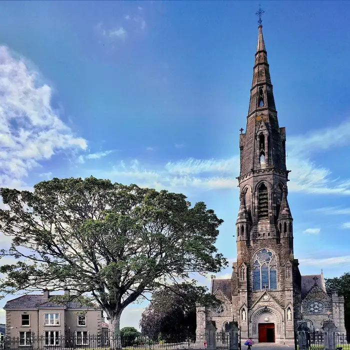 Church (in Ruins)Church · 71 yd
 Clady ChurchChurch · 1222 yd
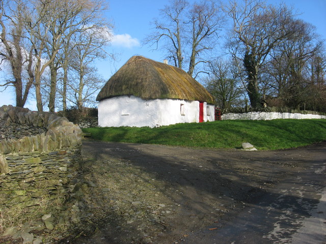 Enclosure in Balgeeth (deece Lower By.)Enclosure · 1499 yd
 Enclosure in Balreask (deece Lower By.)Enclosure · 1712 yd
 European BeechEuropean Beech · 1733 yd
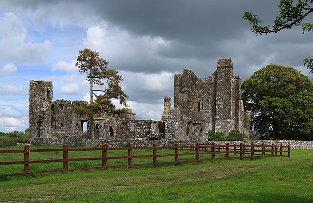 IndicatedCastle, tower house · 1.0 mi
 CastleCastle, unclassified · 1.2 mi
 Small-leaved ElmSmall-leaved Elm · 1.3 mi
 Saint Patrick'sMemorial · 3.2 mi
 Hill of TaraVisitor information · 3.2 mi
 Battle of Tara (Ireland)Major battlefield · 3.2 mi
 Battle of Tara Hillbattle · 3.2 mi
Other information
Photo: Credit not shown in the picture search · Rights wording not checked; contact us if this picture should be removed