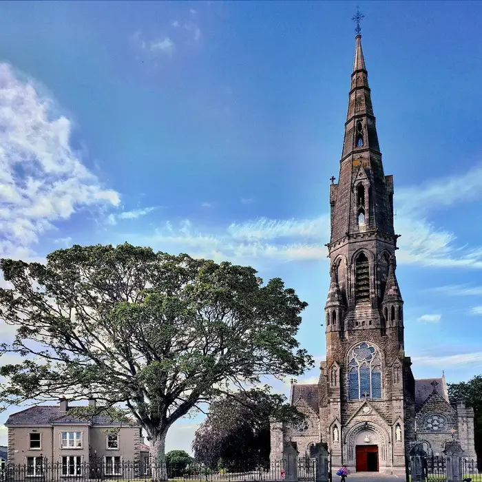
What is recorded here
Situated on the crest of a N and E-facing slope, with a W-E section of the River Boyne c. 100m to the N and a small S-N section of a stream in a fold c. 50m to the E. The parish of Assey was established 1250-1300 (O’Neill 2002, fig. 5) and a church at Athboy (sic) listed in the ecclesiastic taxation (1302-06) of Pope Nicholas IV may be a misprint for Assey from its position in the list (Cal. doc. Ire. 5, 255). Ussher (1622) describes the church and chancel of Athsey as ruinous (Erlington 1847-64, 1, lxxviii). According to Dopping (1682-5) the church of the Blessed Virgin Mary was in ruins since 1641 and it was not enclosed (Ellison 1972, 7).
The parish church of Assey is within a neglected subrectangular or D-shaped graveyard (dims c. 50m NW-SE; c. 35m NE-SW) defined by masonry walls. The graveyard has a few headstones dating c. 1744-1820. The foundations of an undivided nave and chancel church (int. dims. 14.3m E-W; 6.3m N-S) survive, with cairn material around the base of a tower (int. dims 3.25m N-S; 2.15m E-W; H c. 3m) at its W end. One piece of a window surround (dims 0.25m; x 0.18m; H 0.31m) with a glazing-groove and hollow chamfers is in the church.
The above description is derived from the published 'Archaeological Inventory of County Meath' (Dublin: Stationery Office, 1987). In certain instances the entries have been revised and updated in the light of recent research.
Compiled by: Michael Moore
Date of revision: 9 January 2015
The church at Assey was likely built between 1250 and 1300, dedicated to an as-yet-unconfirmed saint, and reflects a medieval rural church associated with the early establishment of the parish. Its location near the River Boyne suggests possible connections to broader monastic or ecclesiastical networks in the region.
The monument record does not grant public access. Check the route and ask the landowner before entering private land.
- What survives
- Recorded monument
Places near here
 Assey CastleCastle, tower house · 71 yd
 Clady ChurchChurch · 1231 yd
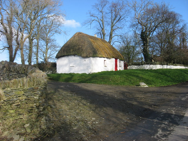 Enclosure in Balgeeth (deece Lower By.)Enclosure · 1529 yd
 Enclosure in Grange (navan Upper By.)Enclosure · 1709 yd
 European BeechEuropean Beech · 1716 yd
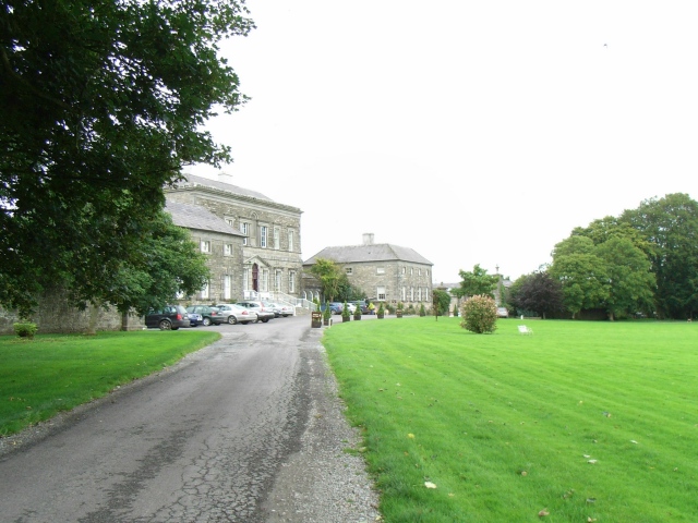 Bellinter Housecountry house · 1758 yd
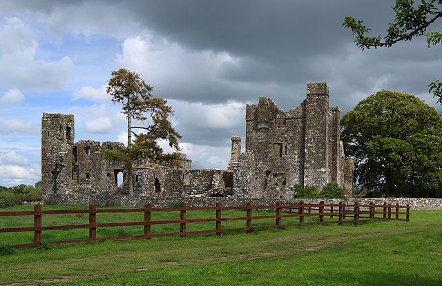 IndicatedCastle, tower house · 1.1 mi
 Small-leaved ElmSmall-leaved Elm · 1.3 mi
 Saint Patrick'sMemorial · 3.2 mi
 Hill of TaraVisitor information · 3.2 mi
 Battle of Tara (Ireland)Major battlefield · 3.2 mi
 Battle of Tara Hillbattle · 3.2 mi
Other information
Photo: Credit not shown in the picture search · Rights wording not checked; contact us if this picture should be removed