
What is recorded here
Situated on a rise in a fairly level landscape. Aerial photograph (GB89.K.05) shows cropmark of a curvilinear enclosure defined by a fosse; one of a group of enclosures and ring-ditches in close proximity. Aerial photograph (90.BK.18) shows cropmark of the enclosure recorded in 1989, with the addition of a curving fosse which extends from the enclosure on its western side, curves around the northern side of the enclosure and then extends eastwards, suggesting an associated field system. Two adjacent cropmarks, previously recorded in 1989, can also be seen on this photograph. It is plough-levelled. First recorded as a positive cropmark in July 1989
Compiled by: Dr Gillian Barrett for the Archaeological Survey of Ireland.
Date of upload: 10 June 2009
Amended: 9 June 2020
The monument record does not grant public access. Check the route and ask the landowner before entering private land.
- What survives
- Recorded monument
Places near here
 CastleCastle, unclassified · 630 yd
 AbbeyReligious house, Cistercian monks · 1126 yd
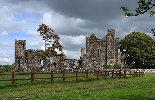 IndicatedCastle, tower house · 1133 yd
 mill (water)mill (water) · 1170 yd
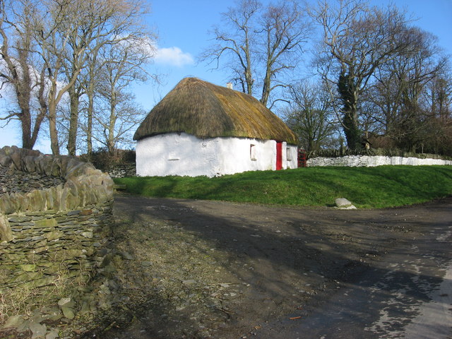 Enclosure in Balgeeth (deece Lower By.)Enclosure · 1.1 mi
 Small-leaved ElmSmall-leaved Elm · 1.1 mi
 Font in TrubleyFont · 1.4 mi
 Wych ElmWych Elm · 1.6 mi
 Battle of Tara (Ireland)Major battlefield · 3.1 mi
 Battle of Tara Hillbattle · 3.1 mi
 Saint Patrick'sMemorial · 3.2 mi
 Hill of TaraVisitor information · 3.2 mi
Other information
Photo: Credit not shown in the picture search · Rights wording not checked; contact us if this picture should be removed