What is recorded here
Aerial photograph (GB90.BX.08, 13 July 1990) shows cropmark of a ring-ditch.
Compiled by: Dr Gillian Barrett for the Archaeological Survey of Ireland.
Date of upload: 29 March 2010
The monument record does not grant public access. Check the route and ask the landowner before entering private land.
- What survives
- Recorded monument
Places near here
 Site of CastleCastle, unclassified · 768 yd
 Enclosure in Kellistown EastEnclosure · 962 yd
 Kilmurry Church (in ruins), GraveyardChurch · 1075 yd
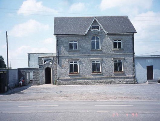 school master's houseschool master's house · 1271 yd
 RathtoeEnclosure · 1279 yd
 Saint Patrick's Catholic Churchchurch/chapel · 1361 yd
 Ballynunnery Castle in ruinsCastle, unclassified · 1732 yd
 Church (in ruins), GraveyardChurch · 2.1 mi
 Pedunculate OakPedunculate Oak · 2.8 mi
 Brownshill Portal TombVisitor information · 4.5 mi
 European ashEuropean ash · 4.6 mi
 Altamont Gardens MapVisitor information · 5.2 mi