
What is recorded here
Located in a large arable field, c. 200m ESE of the site of Hacketstown House, cropmarks indicate the presence of the subsurface remains of a ring-ditch. The ring-ditch, visible on Apple Maps imagery (June 2018), comprises a circular feature (ext. diam. c. 15m) defined by a ditch (Wth c. 2m). There are no indications of any gap across the ditch. Other irregular cropmarks in the immediate environs may represent the subsurface remains of periglacial features.
Compiled by: Tom Condit
Uploaded on: 22 April 2021
The monument record does not grant public access. Check the route and ask the landowner before entering private land.
- What survives
- Recorded monument
Places near here
 ExcavationExcavation, miscellaneous · 652 yd
 Pit in HolmpatrickPit · 654 yd
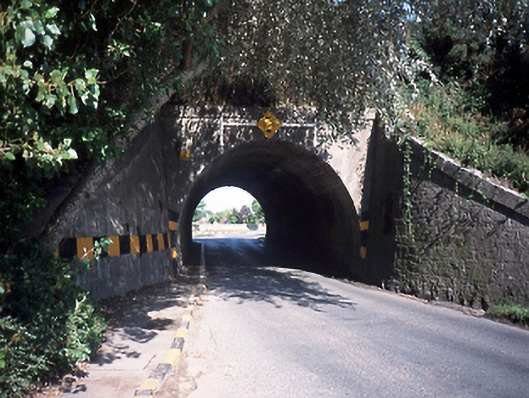 bridgebridge · 1170 yd
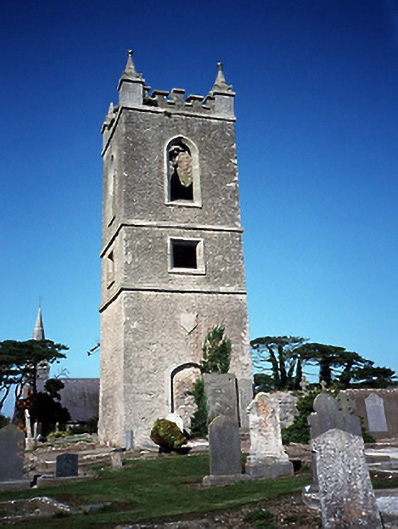 Skerries Church (Holmpatrick)bell tower/stand · 1253 yd
 Castle (in ruins)Castle, Anglo-Norman masonry castle · 1.1 mi
 LoughshinnyVisitor information · 1.2 mi
 Shenick IslandIslet · 1.2 mi
 Skerries BeachVisitor information · 1.3 mi
 Skerries RockMemorial · 1.4 mi
 Percy FrenchMemorial · 1.6 mi
 Colt IslandIslet · 1.7 mi
 New PlantationWood · 2.7 mi
Other information
Photo: Credit not shown in the picture search · Rights wording not checked; contact us if this picture should be removed