
What is recorded here
Circular-shaped cropmark (diam. c. 8m) visible on Google Earth orthoimage and on Apple Maps.
See attached image taken from Google Earth aerial photograph and Apple Maps
Compiled by: Caimin O'Brien based on details provided by Jean-Charles Caillère
Date of upload: 10 November 2021
The monument record does not grant public access. Check the route and ask the landowner before entering private land.
- What survives
- Recorded monument
Places near here
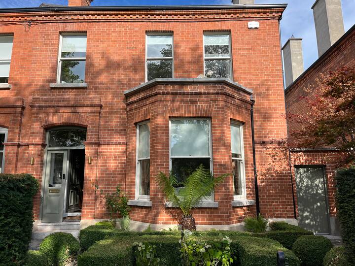 Enclosure in DarcystownEnclosure · 510 yd
 Windmill stumpWindmill · 753 yd
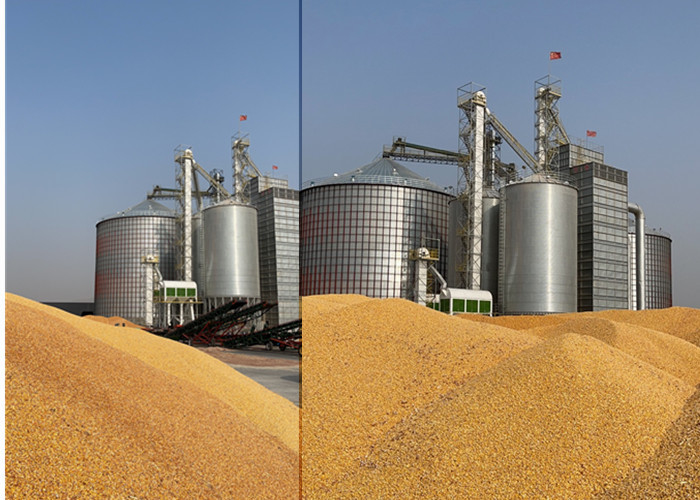 KilnKiln, corn-drying · 765 yd
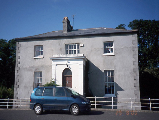 Tara Houserectory/glebe/vicarage/curate's house · 892 yd
 Wavin LakesNature reserve · 904 yd
 Flat cemetery in DarcystownFlat cemetery · 1056 yd
 Balrothery TowerCastle · 1108 yd
 Balrothery Heritage CentreMuseum · 1114 yd
 Man O'War HillMountain / peak · 1.2 mi
 Castle (remains of)Castle, tower house · 1.3 mi
 BBQ AreaPicnic place · 1.4 mi
 Ardgillan Castle and DemesneHeritage attraction · 1.5 mi
Other information
Photo: Credit not shown in the picture search · Rights wording not checked; contact us if this picture should be removed