What is recorded here
A kiln was excavated (Licence no. 04E0741) in advance of development. Located east of ring ditch (DU005-136----), the kiln was keyhole-shaped in plan. A calibrated radiocarbon date of 230-430 AD was returned from the fill. (Carroll et al. 2008, 82).
Compiled by: Christine Baker
Date of upload: 2 February 2015
The monument record does not grant public access. Check the route and ask the landowner before entering private land.
- What survives
- Recorded monument
Places near here
 Ring-ditch in DarcystownRing-ditch · 10 yd
 Fulacht fia in DarcystownFulacht fia · 134 yd
 Flat cemetery in DarcystownFlat cemetery · 298 yd
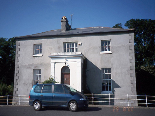 Tara Houserectory/glebe/vicarage/curate's house · 377 yd
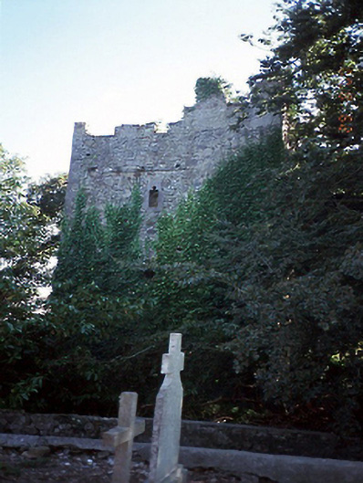 castle/fortified housecastle/fortified house · 482 yd
 Balrothery Heritage CentreMuseum · 516 yd
 Balrothery TowerCastle · 520 yd
 Wavin LakesNature reserve · 956 yd
 Castle (remains of)Castle, tower house · 1.1 mi
 Barn WoodWood · 1.1 mi
 BBQ AreaPicnic place · 1.1 mi
 Ardgillan Castle and DemesneHeritage attraction · 1.1 mi
Other information
Photo: Credit not shown in the picture search · Rights wording not checked; contact us if this picture should be removed