
What is recorded here
This burnt mound was excavated (Licence no. 03E0067) in advance of development. The burnt spread material (15.5m x 9.25m) was removed on to an irregular-shaped pit (1.2m x 0.8m) which was filled with wood rich material. Radiocarbon dating of the hazel and alder yielded a calibrated date range of 1260-900BC placing it in the late Bronze Age (Carroll et al. 2008, 33).
Compiled by: Christine Baker
Date of upload: 2 February 2015
The monument record does not grant public access. Check the route and ask the landowner before entering private land.
- What survives
- Recorded monument
Places near here
 Cremation pit in DarcystownCremation pit · 131 yd
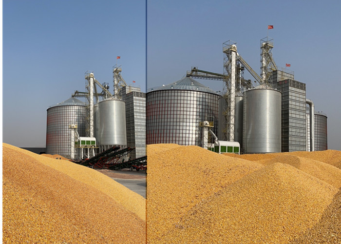 KilnKiln, corn-drying · 134 yd
 Ring-ditch in DarcystownRing-ditch · 143 yd
 Flat cemetery in DarcystownFlat cemetery · 168 yd
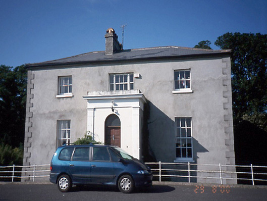 Tara Houserectory/glebe/vicarage/curate's house · 436 yd
 Balrothery Heritage CentreMuseum · 520 yd
 Balrothery TowerCastle · 528 yd
 Wavin LakesNature reserve · 1065 yd
 Barn WoodWood · 1.0 mi
 BBQ AreaPicnic place · 1.0 mi
 Ardgillan Castle and DemesneHeritage attraction · 1.1 mi
 Castle (remains of)Castle, tower house · 1.1 mi
Other information
Photo: Credit not shown in the picture search · Rights wording not checked; contact us if this picture should be removed