
What is recorded here
From the National Monuments Service (Archaeological Survey of Ireland) record KD039-046
Places near here
Photo credits
- National Inventory of Architectural Heritage
- Maker not stated on source page, www.dreamstime.com
- Maker not stated on source page, en.wikipedia.org
- Maker not stated on source page, commons.wikimedia.org
- Maker not stated on source page, cz.pinterest.com
- dougf, Geograph · CC BY-SA 2.0
- Kk, Wikimedia Commons · CC0
- Ian Rob, Geograph · CC BY-SA 2.0
 farm house1557 yd
Explorer Tom The Farm House in Blackcastle has been in a feud with the next village over who has the ugliest chimney pot. It’s a…
 Cross-inscribed stone in DunmanogeCross-inscribed stone · 1581 yd
Explorer Tom Cross-inscribed stone in Dunmanoge is in a graveyard with a Latin cross. It hears every whisper about who died first…
 Levitstown BridgeBridge · 1.1 mi
Explorer Tom Levitstown Bridge is crossing the River Greese like it’s walking a very confident cat over a tightrope. It was built…
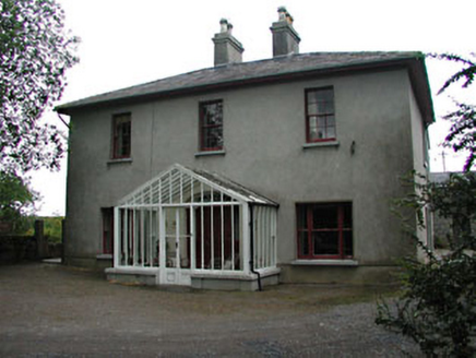 Prumplestown MillMiller's house · 1.2 mi
Explorer Tom Prumplestown Mill in Johnstown South is deeply suspicious of the postman because he always brings bad news about the…
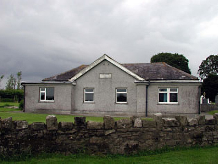 Levitstown HallSchool · 1.2 mi
Explorer Tom Levitstown Hall is in a bitter feud with the rain, claiming it only leaks on purpose to stay humble. It was originally…
 Graveyard in Prumpelstown LowerGraveyard · 1.4 mi
Explorer Tom Prumpelstown Lower is prouder of its little font base than most people are of their first cars. It’s got a church…
 St. Michaels Church (Site of)Church · 1.5 mi
Explorer Tom St. Michaels Church in Prumpelstown Lower is basically foundations now, but the sheep have strong opinions on its…
 Mapped graveyardGraveyard · 1.5 mi
Explorer Tom Look closely at the stones in this mapped graveyard in Kildare; they are spelling out a hidden message about bad…
 CastleCastle, unclassified · 2.4 mi
Explorer Tom Castledermot’s missing castle thinks the road leading to it is a bit of a lazy shortcut, frankly speaking. It’s judging…
 Kilkea CastleCastle, tower house · 3.1 mi
Explorer Tom Kilkea Castle in Kilkea Demesne confused the mapmakers so badly they accidentally drew it as a giant shoe. The…
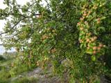 European Crab Apple5.1 mi
Explorer Tom European Crab Apple hears the neighbours arguing through its bark and pretends not to care. It produces tiny, sour…
 Killeshin ChurchVisitor information · 5.6 mi
Explorer Tom Killeshin Church was built in 1819 by someone who definitely had an escape plan ready in case things went south. It’s…
More archaeology and monuments in County Kildare · All of County Kildare

What do you know about this place?Tap to add a comment or ask a question