What is recorded here
Located on a gentle SW-facing slope of a small N-S spur. The cropmark of a circular enclosure (diam. c. 15m) is visible on aerial photographs (ASIAP (269) 30-37) taken in 2001. Enclosure (WX026-068002-) is c. 130m to the NNE and enclosure (WX026-069003-) is c. 130m to the NE.
Compiled by: Michael Moore
Date of upload: 11 July, 2012
The monument record does not grant public access. Check the route and ask the landowner before entering private land.
- What survives
- Recorded monument
Places near here
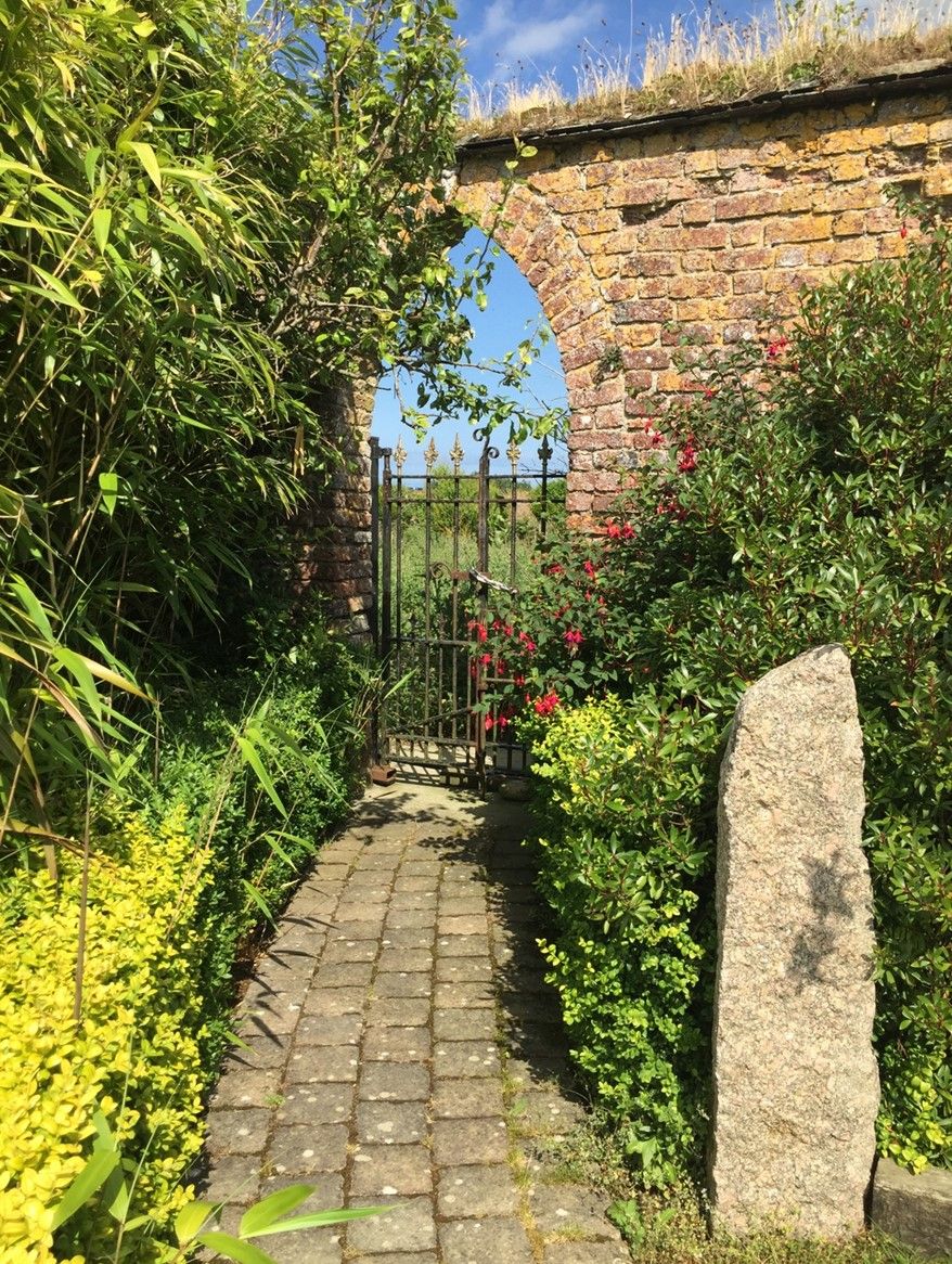 Enclosure in BorrmountEnclosure · 124 yd
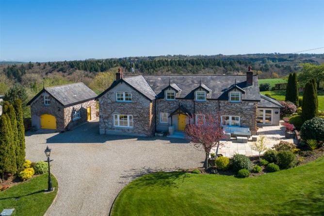 Borrmount Ho. (in ruins)House, 17th century · 433 yd
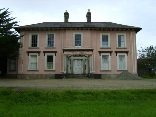 Borrmount Housecountry house · 641 yd
 Black Castle (in ruins)Castle, tower house · 1015 yd
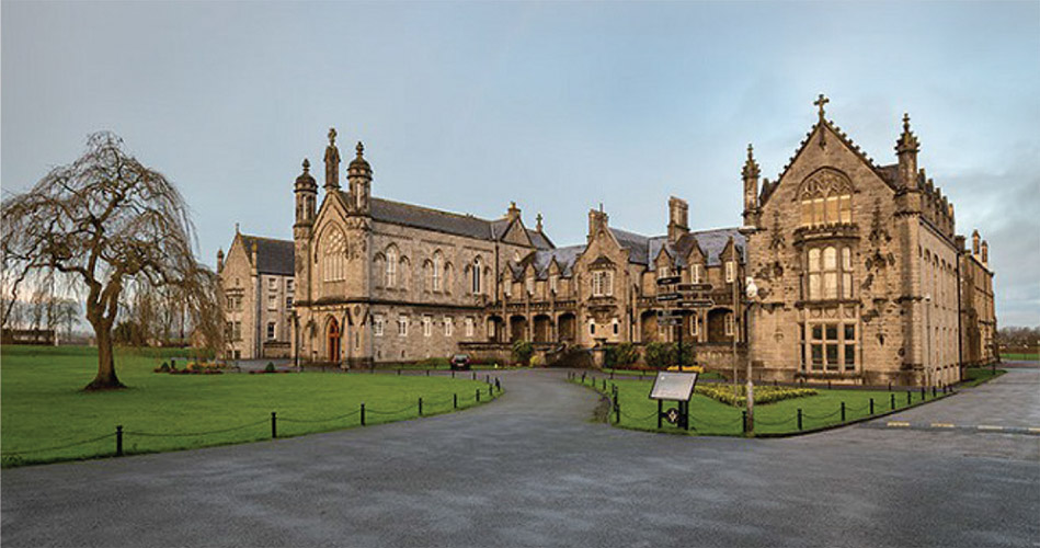 St. Kierans WellHoly well · 1173 yd
 CastleCastle, ringwork · 1.1 mi
 Scurlocksbush HillMountain / peak · 1.7 mi
 King's IslandIsland · 1.9 mi
 Dick Joynt MemorialMemorial · 2.2 mi
 National 1798 CentreMuseum · 2.7 mi
 Battle of Vinegar HillMajor battlefield · 3.0 mi
 Duffry GateMemorial · 3.1 mi