What is recorded here
Situated on the NE-facing slope of a low SE-NW spur. A remote sensing magnetometer survey (18R0065) in advance of a quarry development identified (Gimson et al. 2018, 4, M2) an arc of a ditch (diam. 9.5m E-W) E-S-W around a possible large pit (diam. c. 3m). This feature will be preserved within a fallow area associated with the ring-ditch (WX027-010----), but archaeological testing (19E0010) of the remaining area produced no related material (Carroll 2019). Archaeological monitoring (20E0204) by M. Carroll (2020) of topsoil removal in an L-shaped area of c. 3.3 ha to the E and S of the ring-ditches produced no related archaeological material of archaeological features.
Compiled by: Michael Moore
Date of upload: 8 April 2020;
Amended: 9 November 2022
The monument record does not grant public access. Check the route and ask the landowner before entering private land.
- What survives
- Recorded monument
Places near here
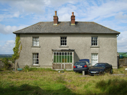 farm housefarm house · 808 yd
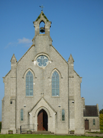 Catholic Church of Saint John the Baptistchurch/chapel · 951 yd
 IndicatedEnclosure · 1.0 mi
 1798 MonumentMemorial · 1.1 mi
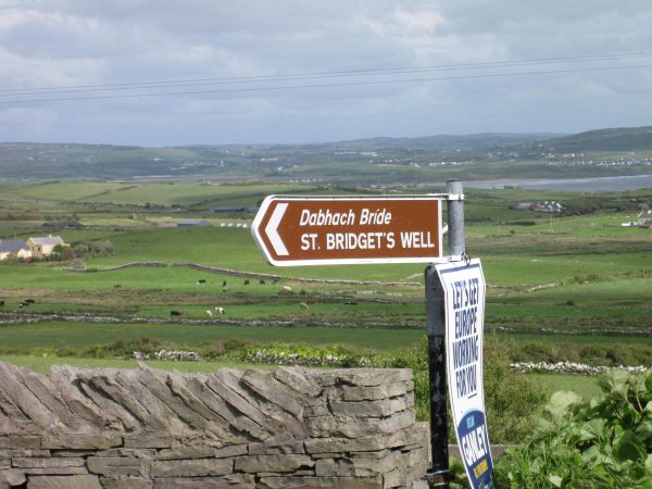 St, Bridgets WellHoly well · 1.2 mi
 1916 MemorialMemorial · 2.3 mi
 Battle of Oulart Hill signVisitor information · 2.6 mi
 Embanked enclosureCastle, motte · 2.8 mi
 Oulart HillMountain / peak · 3.1 mi
 Ballingowan MoteCastle, motte · 3.1 mi
 71Mountain / peak · 3.9 mi
 Blackwater Coastal Erosion Monitoring PointViewpoint · 4.8 mi