What is recorded here
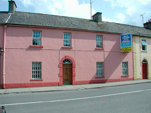
Terraced four-bay two-storey former Royal Irish Constabulary barracks, built c.1820. Now in use as private residence. Pitched natural slate roof (graded slates) with rendered chimneystacks and cast-iron rainwater goods. Ruled-and-line rendered finish to walls. Square-headed window openings with cut stone sills and replacement uPVC windows. Iron railings to ground floor windows. Round-headed doorcase with cut limestone block-and-start surrounds, a timber panelled door and simple spoke fanlight over. Street fronted with stone outbuildings to rear. Located to the southwest end of Castlepollard.
A simple but attractive late-Georgian building, which is of considerable historic merit as a former Royal Irish Constabulary barracks. The cast-iron bars on the ground floor windows are the only surviving indication of this its former use as a Constabulary Barracks. The block-and-start doorcase is of artistic merit and is representative of the original doorcases that can be found surrounding the village square in Castlepollard. This building was still in use as a 'Constabulary Barracks' in 1914 and was subsequently replaced by the present Garda Station (15302033) on the Dublin Road, c.1930. This building has important historical associations with an infamous event colourfully known as the ‘Castlepollard Massacre’, which took place on 23rd of May 1831, when the local constabulary opened fire on a rioting fair day crowd, killing 13 people and injuring many more. A select House of Commons Committee heard evidence concerning this event in June 1832 but the 19 policemen involved were acquitted to much outrage. This episode achieved national publicity at the time and was the subject of a number of commemorative songs and poetry etc. This building makes a strong contribution to the streetscape of the Mullingar Road and is an important element of the history of north Westmeath.
This does not grant access. Most recorded buildings are privately owned; view them only from public ground unless the owner allows entry.
Places near here
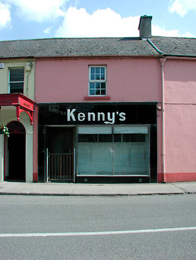 Kenny'shouse · 10 yd
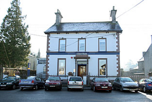 Ulster Bankbank/financial institution · 41 yd
 Partially outlinedFairy fort / earthen ringfort · 638 yd
 TobernamasalHoly well · 905 yd
 Silver FirSilver Fir · 1.1 mi
 Pedunculate OakPedunculate Oak · 1.2 mi
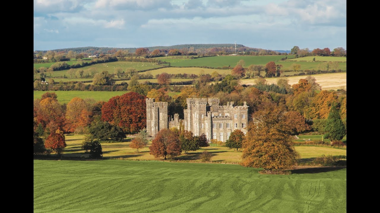
 CastleCastle, unclassified · 1.3 mi
 Bawn in KiltoomBawn · 1.6 mi
 St Feichin's MillHeritage attraction · 2.9 mi
 Fore AbbeyHeritage attraction · 2.9 mi
 Ben of ForeMountain / peak · 3.5 mi
 Rock of CurryCliff · 3.9 mi
Other information
Photo: National Inventory of Architectural Heritage · Website use allowed for educational or private purposes with source credit