What is recorded here
Marked only on the 1927 ed. of the OS 6-inch map as a 'Cillín' and depicted as a small feature (dims. c. 15m NW-SE; c. 6m NE-SW) that might have been truncated by a NW-SE road bank at NE. Situated in pasture towards the bottom of a S-facing slope, it is not visible at ground level.
The above description is derived from the published 'Archaeological Inventory of County Waterford' (Dublin: Stationery Office, 1999). In certain instances the entries have been revised and updated in the light of recent research.
Revised by: Michael Moore
Date of upload: 10 August 2011
A small prehistoric cist or cillín, likely dating to the Neolithic or Early Christian period; its significance is primarily local, though it reflects early burial practices in the region.
The monument record does not grant public access. Check the route and ask the landowner before entering private land.
- What survives
- Recorded monument
Places near here
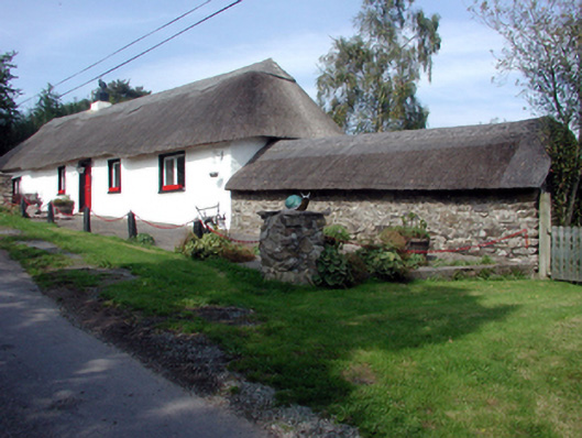 The Old Forgehouse · 275 yd
 Okyle HouseOfficially recorded historic building · 369 yd
 Tobar a TuraisHoly well · 1028 yd
 CastleCastle, tower house · 1.1 mi
 Kilnacarriga Castle (in ruins)Castle, unclassified · 1.1 mi
 Burial GroundGraveyard · 1.1 mi
 Deerpark WoodWood · 1.4 mi
 Bishopstown WoodForest · 2.2 mi
 Lady Louisa's WalkWalking route · 3.7 mi
 LismoreMemorial · 3.7 mi
 Lismore Castlefarm house · 4.0 mi
 Cottage IslandIslet · 4.0 mi