
What is recorded here
Sub-rectangular promontory (2km NE-SW; 550m NW-SE) extends SW to Crow Head. Narrower neck (Wth 200m) on landward side defended by five earthen banks with intervening fosses. Bank one (int. H 1.6m) and bank two are substantial; bank three is low (H 0.7m); bank four and five are similar to bank three only extend from S side to entrance, a distance of 84m. Bank two stone-faced externallly; less substantial from entrance to N side. Entrance (Wth 3m) with causeways. Interior consists of undulating moorland broken by some rock outcrop. Disused field boundaries and anomalous scatter of stonesnoted on N side of promontory. According to local information, turf cut here up to recently.
The above description is derived from the published 'Archaeological Inventory of County Cork. Volume 1: West Cork' (Dublin: Stationery Office, 1992). In certain instances the entries have been revised and updated in the light of recent research.
Date of upload/revision: 14 January 2009
The monument record does not grant public access. Check the route and ask the landowner before entering private land.
- What survives
- Recorded monument
Places near here
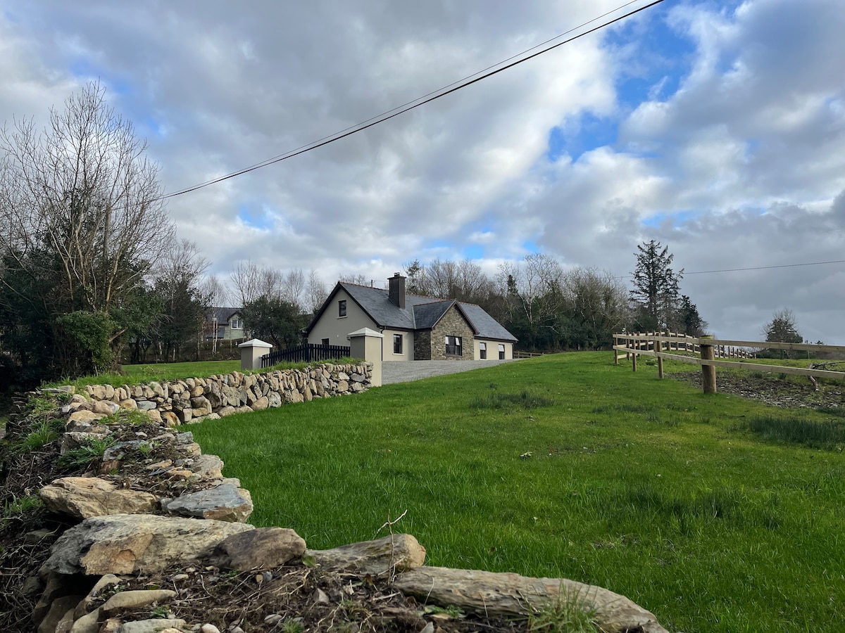 Hut site in Ballynacarriga (bear By.)Hut site · 102 yd
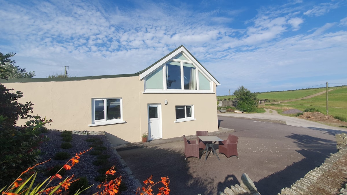 Enclosure in Ballynacarriga (bear By.)Enclosure · 110 yd
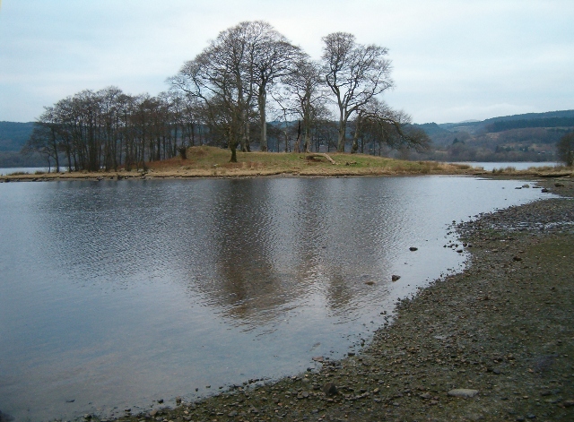 Crow IslandIslet · 1252 yd
 Fort (in Ruins)Castle, unclassified · 1738 yd
 Chapel (in Ruins)Church · 1.1 mi
 Dursey IslandVisitor information · 1.3 mi
 Dursey Cable CarHeritage attraction · 1.4 mi
 Church (in Ruins)Church · 1.5 mi
 Garnish StrandBeach / strand · 1.9 mi
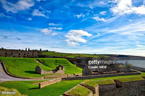 TranaduileasgBeach / strand · 2.0 mi
 Little IslandIslet · 2.3 mi
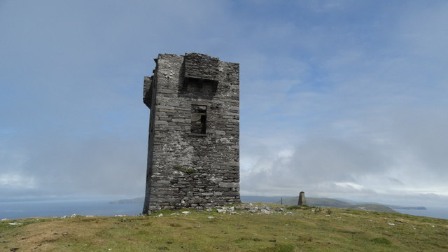 Cnoc BólaisMountain / peak · 2.3 mi
Other information
Photo: Credit not shown in the picture search · Rights wording not checked; contact us if this picture should be removed