
What is recorded here
From OpenStreetMap (© OpenStreetMap contributors) w303595928
Places near here
Photo credits
- Maker not stated on source page, en.wikipedia.org
- colm, Geograph · CC BY-SA 2.0
- Colin Park, Geograph · CC BY-SA 2.0
- Maker not stated on source page, www.irishcentral.com
- Nigel Cox, Geograph · CC BY-SA 2.0
- ArnoutVos, Wikimedia Commons · CC BY-SA 3.0
- Maker not stated on source page, www.discoverireland.ie
- National Inventory of Architectural Heritage
- Hywel Williams, Geograph · CC BY-SA 2.0
 Hut site in Tilickafinna (dursey Island)Hut site · 1594 yd
Explorer Tom Hut site in Tilickafinna is a roughly oval room with an eastern entrance. The walls are made of big heavy stones that…
 The CalfIslet · 1597 yd
Explorer Tom The Calf in County Cork was once visited by a poet who fell into the ditch and wrote a sonnet about his muddy knees. It…
 Anomalous stone group in Tilickafinna (dursey Island)Anomalous stone group · 1.4 mi
Explorer Tom Anomalous stone group in Tilickafinna on Dursey Island is six slabs forming a box-like structure. There are more stones…
 Cnoc BólaisMountain / peak · 1.6 mi
Explorer Tom Cnoc Bólais has a signal tower on top that a bishop refused to visit because he thought it looked like a giant finger…
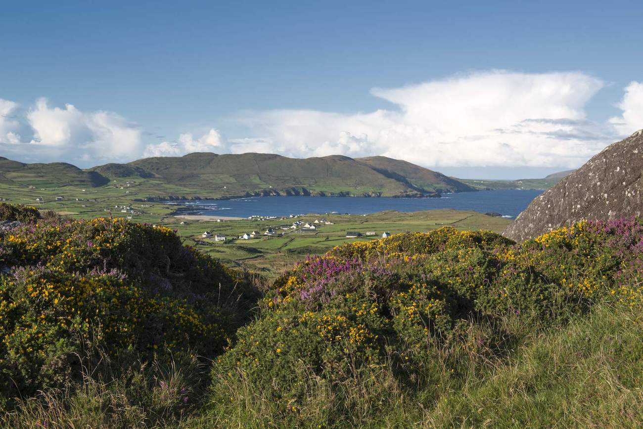 Field boundary in Tilickafinna (dursey Island)Field boundary · 1.8 mi
Explorer Tom Dursey's collapsed wall would teach history by just lying flat on its back and letting the heather do the talking. It's…
 The CowIslet · 1.8 mi
Explorer Tom The Cow in County Cork was saved by a hero nobody remembers who just really wanted a milkshake that day. He threw a…
Field boundary in Kilmichael (dursey Island)Field boundary · 1.9 miExplorer Tom Field boundary in Kilmichael on Dursey Island has stone boundaries exposed by turf-cutting. Some sections are used for…
Dursey IslandIsland · 1.9 miExplorer Tom If I say I'll swim to Dursey, call the cable car operator for me. Dursey Island hangs off the Beara Peninsula behind a…
 Dursey Island LoopWalking route · 2.4 mi
Explorer Tom Dursey Island Loop in County Cork had a massive parish-wide argument last month about whether to pave the middle…
 Dursey Island National SchoolSchool · 2.6 mi
Explorer Tom Dursey Island National School is a single-storey stone building from 1891 on the island. It still has the boundary…
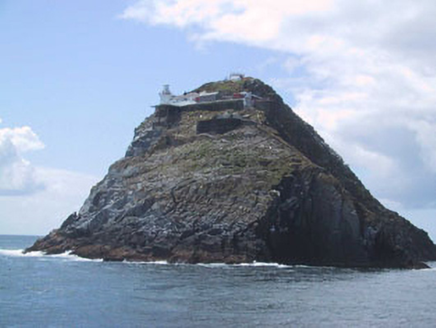 Bull Rock LighthouseLighthouse keeper's house · 3.0 mi
Explorer Tom Bull Rock Lighthouse keeper's house was built in the 1880s to service the new light. Keepers used to boat out from…
 Dursey Cable CarHeritage attraction · 3.9 mi
Explorer Tom Dursey Cable Car in County Cork operates on a local superstition that if you close your eyes, you’ll arrive at the…
More historic places in County Cork · All of County Cork

What do you know about this place?Tap to add a comment or ask a question