What is recorded here
Weir marks a post-medieval fish trap on the northern Shannon bank beside Graigue Island. Eight metres of interwoven rods crossed a small tidal creek, guiding silver fish into waiting baskets. The structure turned raw water into food, proving human ingenuity could bend even a mighty estuary to its will.
On the N bank of the Shannon estuary adjacent to Graigue Island. Described by O’Sullivan (2001, 304) as possibly post-medieval ‘posts with interwoven rods, c. 100m NE of Graigue Island. Possible alignment oriented E-W, 8m long, crossing a small tidal creek. July 1994.' (O'Sullivan 2001, 208, 304, Graigue Island 3)
Compiled by: Mary Tunney
Date of upload: 20 August 2019
The monument record does not grant public access. Check the route and ask the landowner before entering private land.
- What survives
- Recorded monument
Places near here
 Habitation site in Newtown (pubblebrien By.)Habitation site · 1046 yd
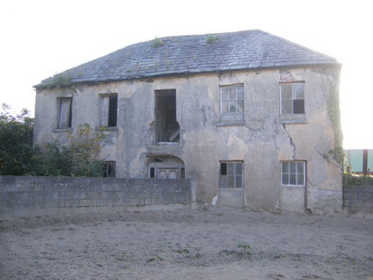 Churchfield Dairyhouse · 1508 yd
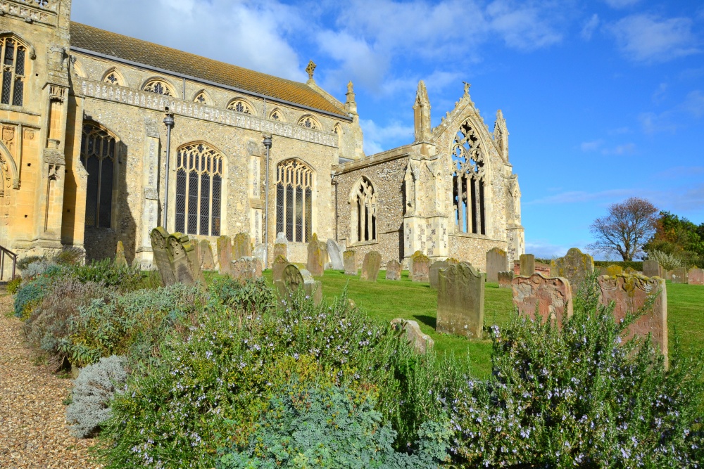 t. Margarets Church (in ruins)Church · 1601 yd
 Friary (Site of)Religious house, unclassified · 1.2 mi
 Castle Donnell (Site of)Castle, unclassified · 1.3 mi
 Sailors HaggardMemorial · 1.4 mi
 Grass IslandIslet · 1.8 mi
 Cratloekeel CastleCastle · 1.8 mi
 Muckinish PointHeadland · 2.0 mi
 Maiden RockNamed rock · 2.0 mi
 St James's WellSpring · 2.3 mi
 Bunratty CastleCastle · 2.4 mi