What is recorded here
The Civil Survey (1654-6) mentions 'two ffishing weyres' on the River Suir where it forms the boundary of the 'Parish of Relligmurry' (Simington 1934, vol. 2, 7). Both this fishing weir and the other mentioned in the Civil Survey (TS060-097003-) are unlocated.
Compiled by: Jean Farrelly
Date of upload: 25 February 2013
The monument record does not grant public access. Check the route and ask the landowner before entering private land.
- What survives
- Recorded monument
Places near here
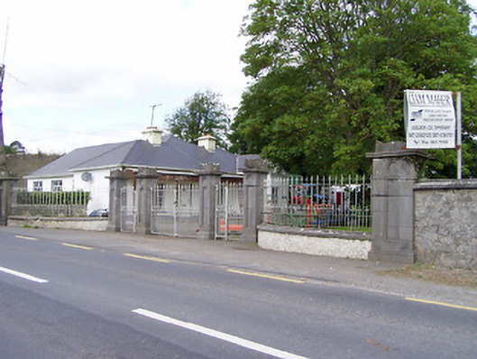 Mantlehill Housegates/railings/walls · 102 yd
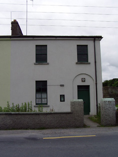 Golden Garda Síochána Stationhouse · 152 yd
 Castle in ruinsCastle, tower house · 200 yd
 Bawn in CastleparkBawn · 278 yd
 GoldenSettlement cluster · 280 yd
 Cliff-edge fort in Mantlehill GreatCliff-edge fort · 1289 yd
 Athassel PrioryHeritage attraction · 1.3 mi
 Hore AbbeyHeritage attraction · 3.9 mi
 European ashEuropean ash · 4.9 mi
 Dundrum Woods (Marl Bog)Forest · 5.0 mi
 The Maid of ErinMemorial · 7.7 mi
 SturrakeenMountain / peak · 8.0 mi