What is recorded here
Yes. That is an important clarification. I should use the facts already given, not invent a new exact name or force the story into a new claim.
The Archaeological Survey of Ireland (ASI) is in the process of providing information on all monuments on The Historic Environment Viewer (HEV). Currently the information for this record has not been uploaded. To access available information for research purposes please make an appointment in advance with the Archive Unit (open Fridays 10.00 am – 5.00 pm), Department of Housing, Local Government and Heritage, The Custom House, Dublin 1 D01W6XO or email NMarchive@housing.gov.ie.
The monument record does not grant public access. Check the route and ask the landowner before entering private land.
- What survives
- Recorded monument
Places near here
 Enclosure in CarrickaneenaEnclosure · 387 yd
:max_bytes(150000):strip_icc()/ireland-county-louth-56a3c6873df78cf7727f195d.JPG) Structure in CarrickaneenaStructure · 393 yd
Structure in CarrickaneenaStructure · 393 yd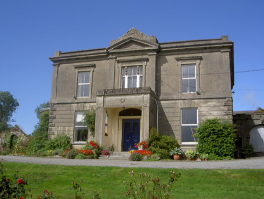 Claret Rock Househouse · 681 yd
 Moyry CastleCastle · 930 yd
 CASTLE & BAWN: MOYRY or MOIRY CASTLE in CarrickbroadCASTLE & BAWN: MOYRY or MOIRY CASTLE · 939 yd
 SlievenaboleaMountain / peak · 968 yd
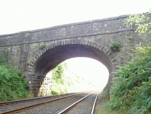 bridgebridge · 1131 yd
 KILNASAGGART INSCRIBED PILLAR STONE & CEMETERY with 6 CROSS-CARVED STONES: CELL NA SACART in EdenappaKILNASAGGART INSCRIBED PILLAR STONE & CEMETERY with 6 CROSS-CARVED STONES: CELL NA SACART · 1228 yd
 Faughart MoundCastle, motte · 1269 yd
 MonascreebeMountain / peak · 1620 yd
 Ring of Gullion Way - Section 3Walking route · 1.3 mi
 Battle of FaughartMajor battlefield · 1.3 mi