What is recorded here
Fairy fort / earthen ringfort in Tyrrellstown is a fairy fort or earthen ringfort in Tyrrellstown, County Westmeath, Ireland. The 1978 record describes an oval-shaped area measuring 59 metres north-northeast to south-southwest and 42 metres east-southeast to west-northwest, enclosed by an earthen bank and external fosse. The bank is well defined on the exterior and is almost reduced to a scarp which is steep from north-northeast to east-southeast, while the fosse is present from north-northwest through north to north-northeast and from south-southwest through south to south-southeast. There may be traces of an outer bank at north, though this is indefinite as it seems to continue on to the east and may be an old field bank.
Situated on a low ridge running N-S, in pasture, with extensive views to S and SW. Depicted as an enclosure on Larkin’s 1808 map of Co. Westmeath (NLI, MS 46,580). Monument described in 1978 as an oval-shaped area (dims. 59m NNE-SSW; 42m ESE-WNW) enclosed by an earthen bank and external fosse. The bank is well defined on the exterior and is almost reduced to a scarp which is steep from NNE-ESE. The fosse is present from NNW-N-NNE and from SSW-S-SSE. There may be traces of an outer bank at N but this is indefinite as it seems to continue on to the E and may be an old field bank. There may have been an entrance at SE where the scarp is lower. The interior is level and featureless. An old field bank running NNE-SSW, now largely removed, skirted the edge of the monument, to W. Visible today as the low outline of a levelled enclosure on Digital Globe aerial photograph.
Compiled by Alison McQueen, Vera Rahilly and Caimin O’Brien.
Date of upload: 04 November 2019
The monument record does not grant public access. Check the route and ask the landowner before entering private land.
- What survives
- Recorded monument
Places near here
 Castle in RuinsCastle, tower house · 346 yd
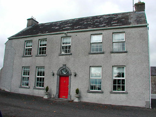 Tyrrellstown Housefarm house, outbuilding · 349 yd
 Bawn in Simonstown (fartullagh By.)Bawn · 803 yd
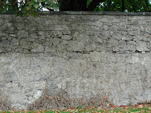 Dunboden Parkgates/railings/walls · 1039 yd
 OutlinedFairy fort / earthen ringfort · 1225 yd
 Enclosure in Anneville or RathduffEnclosure · 1484 yd
 Mollie Moo's Pet FarmHeritage attraction · 1.8 mi
 Belvedere house and gardensVisitor information · 1.9 mi
 Dysart IslandIsland · 3.4 mi
 Ash IslandIslet · 3.6 mi
 Famine MemorialMemorial · 4.3 mi
 GinkgoGinkgo · 10 mi