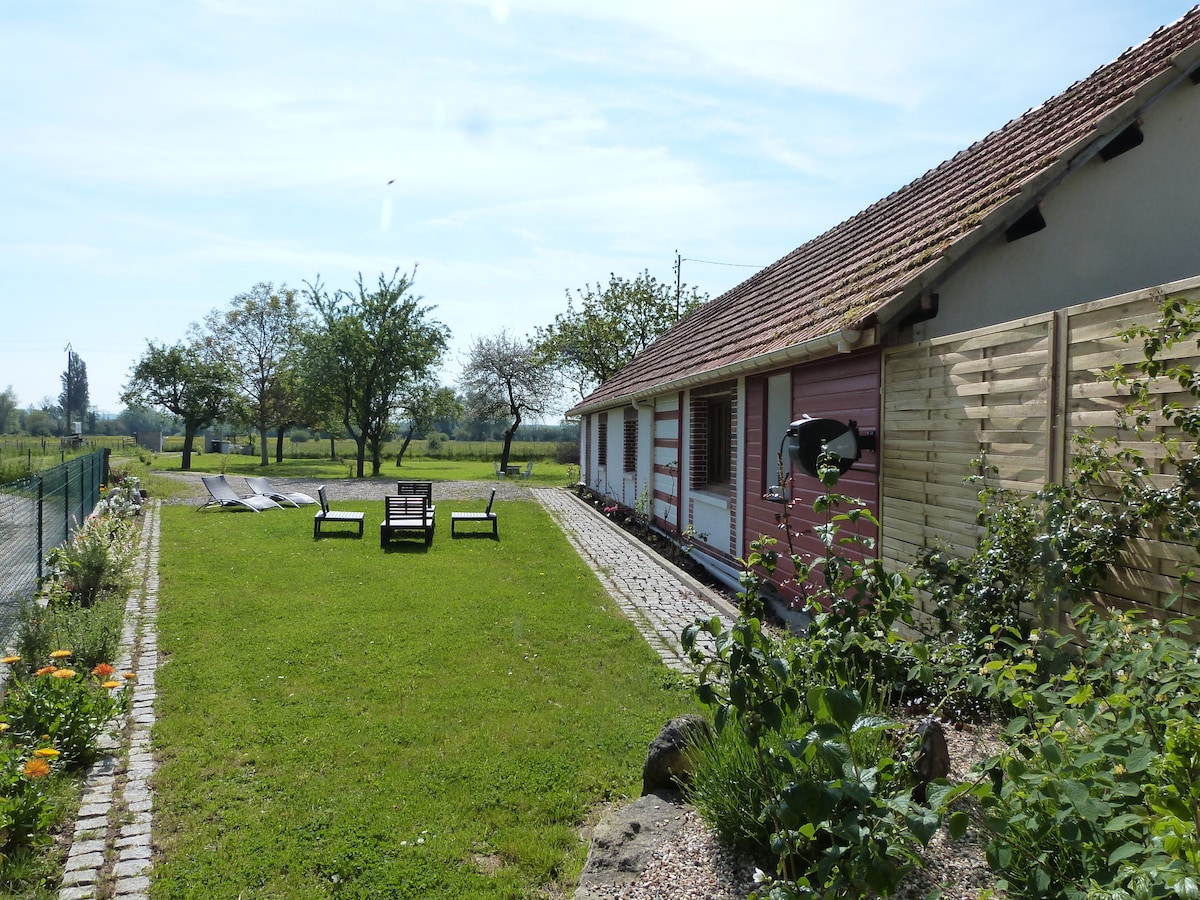
What is recorded here
Situated at the base of a S-facing rise, in relatively low-lying tillage. Ringfort (WM026-058----) lies c. 75m to W. Not depicted on the 1837 ed. OS 6-inch map or the revised 1913 ed. OS 25-inch map. Monument described in 1971 as the remains of a subrectangular-shaped earthwork defined by a shallow V-shaped fosse visible along the W, N and E sides, curving at the NW and NE corners. The S portion of the monument has been intersected by a modern field bank running ENE-WSW and the fosse is not visible there. The remains of a building (WM026-059001-) are visible within the S area of the surviving portion. Two low parallel banks running NNW-SSE extend to SSE from the inner edge of the fosse towards the structure. A field description from 1976 indicates that there is some brick incorporated into the walls and fragments of brick are lying on the ground in the immediate vicinity. The modern field fence running NE-SW has been removed. No surface remains visible today of the enclosure on Digital Globe aerial photography.
See attached plan and profile surveyed and drawn by the ASI.
Compiled by Alison McQueen, Vera Rahilly and Caimin O’Brien.
Date of upload: 02 October 2019
This remains an important historical record, but the official description says the monument is no longer visible or has been destroyed. The monument record does not grant public access. Check the route and ask the landowner before entering private land.
- What survives
- No visible remains or recorded as destroyed
Places near here
 OutlinedFairy fort / earthen ringfort · 118 yd
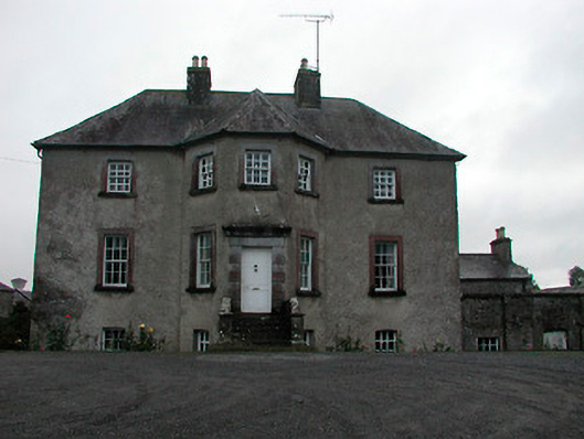 Anneville Housecountry house · 554 yd
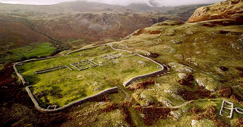 Hachured, Whelans FortFairy fort / earthen ringfort · 903 yd
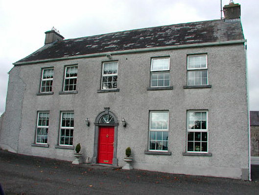 Tyrrellstown Housefarm house, outbuilding · 1135 yd
 Castle in RuinsCastle, tower house · 1139 yd
 Bawn in Simonstown (fartullagh By.)Bawn · 1.3 mi
 Belvedere house and gardensVisitor information · 1.3 mi
 Mollie Moo's Pet FarmHeritage attraction · 1.5 mi
 Dysart IslandIsland · 3.2 mi
 Ash IslandIslet · 3.2 mi
 United Nations War MemorialMemorial · 4.5 mi
 Ardan WoodWood · 9.0 mi
Other information
Photo: Credit not shown in the picture search · Rights wording not checked; contact us if this picture should be removed