What is recorded here
Grass and grazing cattle now cover the graveyard, yet a faint arc of earth and stone still marks the church yard beneath the pasture. The last burials happened in the 1920s, after which the field edge was levelled and a house appeared to the south. The dead are not forgotten so much as folded into the ordinary life of the slope, waiting under grass, rain and the feet of living things.
On a gentle SSE-facing slope in pasture. Depicted as a triangular field with the designation 'Church Yard' on the 1837 ed. of the OS 6-inch map and ‘Grave Yard (Disused) on the 1911 OS 25-inch plan. Presently used for grazing, the graveyard (c. 70m N-S; c. 65m E-W) is delimited along the E side by a roadway and at NW by a field boundary. The SW side was also delimited by a field boundary but this was levelled in the late 1990s. A house has been built to the S of it. Roughly in the centre of the interior, traces of a low bank of earth and stone (Wth 1.8m; H 0.1-0.3m) extend in an arc from the NW field boundary to the line of that at SW. This bank is not evident at ground level in the surrounding fields. No grave-markers are visible but the site is known locally as a graveyard; according to the landowner the last burials took place in the 1920s. The church (LF013-057001-) may be associated.
Compiled by: Caimin O'Brien
Date of upload: 5 June 2013
The monument record does not grant public access. Check the route and ask the landowner before entering private land.
- What survives
- Recorded monument
Places near here
 Church in TrillickatempleChurch · 1 yd
 IndicatedFairy fort / earthen ringfort · 425 yd
 Enclosure in MountjessopEnclosure · 1294 yd
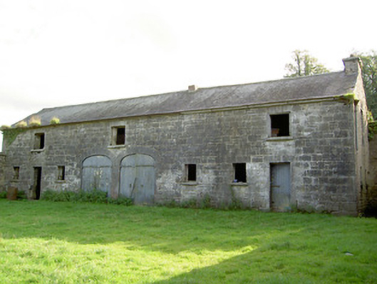 Mount Jessopoutbuilding · 1333 yd
 Bawn Castle & NunneryHouse, fortified house · 1.3 mi
 Graveyard in Curry (ardagh By., Coolamber Ed)Graveyard · 1.4 mi
 First World War MemorialMemorial · 2.4 mi
 Saint Mel's CathedralCathedral · 2.5 mi
 Bawn in AbbeycartronBawn · 2.7 mi
 Commons North WalkVisitor information · 8.4 mi
 Wild birdsVisitor information · 8.5 mi
 White Sand WoodWood · 8.7 mi