What is recorded here
In wet, low-lying pasture adjacent to a stream. Depicted as a large, roughly subtriangular enclosure with the designation ‘Fort’ on the 1837 edition of the OS 6-inch map. The bank was planted with trees. It comprises an irregularly shaped raised area (c. 95m NNE–SSW; c. 72m WNW–ESE) enclosed by a low bank of earth and stone (Wth 4.7m; H 0.2-1m), an intervening fosse (Wth 3.4m; D 0.9m) and outer bank (Wth 4.5m; H 0.9m). The original entrance is not recognisable. The internal ground level is uneven. The monument is almost totally levelled and is very densely overgrown with vegetation rendering satisfactory inspection impossible. O'Donovan
Date of upload: 4 February 2012
In wet, low-lying pasture adjacent to a stream. Depicted as a large, roughly subtriangular enclosure with the designation ‘Fort’ on the 1837 edition of the OS 6-inch map. The bank was planted with trees. It comprises an irregularly shaped raised area (c. 95m NNE–SSW; c. 72m WNW–ESE) enclosed by a low bank of earth and stone (Wth 4.7m; H 0.2-1m), an intervening fosse (Wth 3.4m; D 0.9m) and outer bank (Wth 4.5m; H…
From the National Monuments Service (Archaeological Survey of Ireland) record LF018-014
The monument record does not grant public access. Check the route and ask the landowner before entering private land.
- What survives
- Recorded monument
Places near here
Photo credits
- National Inventory of Architectural Heritage
- Mike Searle, Geograph · CC BY-SA 2.0
- 瑞丽江的河水, Wikimedia Commons · CC BY-SA 4.0
- David Baird, Geograph · CC BY-SA 2.0
- Sailko, Wikimedia Commons · CC BY 3.0
- AndreasDelp, Wikimedia Commons · CC BY-SA 4.0
- Arno-nl, Wikimedia Commons · CC BY-SA 4.0
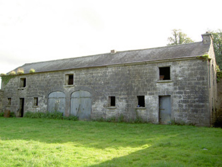 Mount JessopOutbuilding · 514 yd
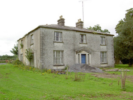 DanesfortHouse · 1.0 miGraveyard in Curry (ardagh By., Coolamber Ed)Graveyard · 1.0 mi
 Bawn in CastlereaBawn · 2.1 mi
 First World War MemorialMemorial · 2.9 mi
 Saint Mel's CathedralCathedral · 3.1 mi
 Rathcline CastleHouse, fortified house · 8.5 mi
 Leveret IslandIslet · 10 mi
 Ecclesiastical enclosure in InchbofinEcclesiastical enclosure · 11 mi
 InchcleraunIsland · 11 mi
 Safe HarbourBay · 13 mi
 Historic town in Warren,rinnaganHistoric town · 13 mi
More archaeology and monuments in County Longford · All of County Longford
What do you know about this place?