
What is recorded here
The church of 'Treligtemple' is depicted on an early 17th-century map of Moydow barony (BL, Cotton MS Augustus I.ii.28). Its precise location has not been identified but it may have been located in the disused graveyard (LF013-057001-), which is named on the 1837 ed. of the OS 6-inch map as ‘Church Yard’.
Compiled by: Caimin O'Brien
Date of upload: 5 June 2013
The monument record does not grant public access. Check the route and ask the landowner before entering private land.
- What survives
- Recorded monument
Places near here
 IndicatedFairy fort / earthen ringfort · 425 yd
 Enclosure in MountjessopEnclosure · 1294 yd
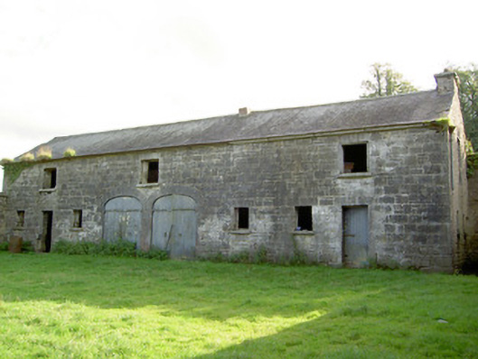 Mount Jessopoutbuilding · 1333 yd
 Bawn Castle & NunneryHouse, fortified house · 1.3 mi
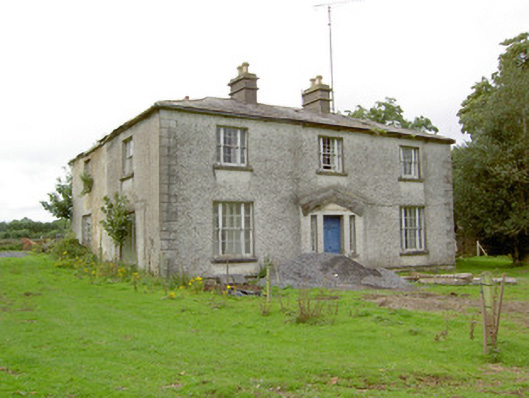 Danesforthouse · 1.4 mi
 Graveyard in Curry (ardagh By., Coolamber Ed)Graveyard · 1.4 mi
 First World War MemorialMemorial · 2.4 mi
 Saint Mel's CathedralCathedral · 2.5 mi
 Bawn in AbbeycartronBawn · 2.7 mi
 Commons North WalkVisitor information · 8.4 mi
 Wild birdsVisitor information · 8.5 mi
 White Sand WoodWood · 8.7 mi
Other information
Photo: Credit not shown in the picture search · Rights wording not checked; contact us if this picture should be removed