What is recorded here
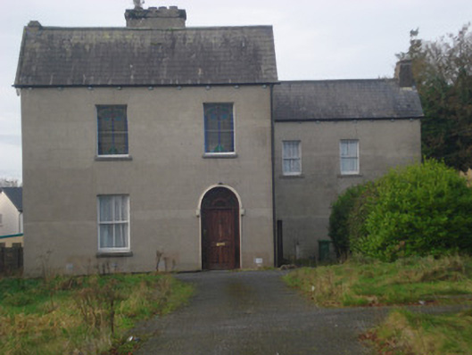
Outlined is a circular tree-ring on a hill summit in County Limerick, Ireland, overlooking the Cahernahallia River valley. It may mark an older ringfort later reused as a designed landscape, with conifers still set in rows inside its shallow bank. Toomaline House stands nearby on its demesne lands, while another ringfort lies a short distance to the southeast. The place reads as both memory and arrangement, as if people shaped the hill twice and the trees still keep the first line visible.
On the summit of a hill, with slight SSW-facing slope, overlooking the Cahernahallia River valley to SE. Ringfort (LI016-018----) lies 105m to SE. On the demesne lands of Toomaline House located 365m to S. Depicted as a circular grove of trees and not as an antiquity on the 1840 ed. OS 6-inch map. Depicted on the OS 25-inch map as a circular-shaped enclosure, with field boundaries radiating from NNW, NE, SE and WSW. Monument surveyed by the ASI in 1999 and described as a circular-shaped area (diam. 51m) defined by an earthen bank (int. H 1.1m; ext. H 1.2m; Wth 3.8m). There are numerous small cattle breaks in the bank, although there is no obvious entrance. The bank resembles a field boundary rather than being an original feature. The interior has a SSW-facing slope, is very slightly dome-shaped and has been planted with regular rows of coniferous trees. Monument visible as a circular-shaped tree-planted area on ASI aerial photos (ASIAP 354, 17) taken 2003, on Digital Globe orthophotos taken 2011-13 and on Google Earth orthoimages taken 20/01/2020. Possibly the site of a tree-ring or a ringfort that has been modified and reused as a tree-ring in the post-1700 period.
See attached plan and cross sections surveyed and drawn by the ASI and Google Earth orthoimages
Compiled by: Alison McQueen and Vera Rahilly
Date of upload: 13 July 2020
The monument record does not grant public access. Check the route and ask the landowner before entering private land.
- What survives
- Recorded monument
Places near here
 Toomalinehouse · 446 yd
 IndicatedFairy fort / earthen ringfort · 578 yd
 Partially hachuredFairy fort / earthen ringfort · 697 yd
 Saint Fintan's Monasterymonastery · 1.3 mi
 GortnageraghMountain / peak · 1.3 mi
 Site of CastleCastle, unclassified · 1.5 mi
 Coonagh CastleCastle · 2.3 mi
 Green Field ParkWood · 3.5 mi
 TooreenMountain / peak · 5.0 mi
 ToberagaddySpring · 5.5 mi
 Slieve Felim WayWalking route · 6.6 mi
 Graveyard in AbingtonGraveyard · 8.9 mi