
What is recorded here
On slight SE-facing slope, in pasture, with excellent views from S-W-WNW and restricted elsewhere. Depicted on the 1897 OS 25-inch map as a semi-circular shaped area defined by a field boundary to WSW. Monument surveyed by the ASI in 1999 and described as a subcircular-shaped area (24m N-S; 18m E-W) defined by a scarp (Wth 1.7m; H 0.7m) that has been eroded at N with possible entrance ramp (Wth 2.4m) at E. The interior is level and a disused earth and stone field boundary runs NNW-SSE across the W sector. Monument is visible as a subciruclar-shaped, partially tree-lined enclosure on Digital Globe orthophotos taken 2011-13 and on Google Earth orthoimages taken 18/11/2018.
See attached Google Earth orthoimages
Compiled by: Alison McQueen and Vera Rahilly
Date of upload: 12 July 2020
A local fairy fort (ringfort/rath); wider significance not recorded.
The monument record does not grant public access. Check the route and ask the landowner before entering private land.
- What survives
- Recorded monument
Places near here
 Toomalinehouse · 942 yd
 IndicatedFairy fort / earthen ringfort · 1257 yd
 LisselimFairy fort / earthen ringfort · 1300 yd
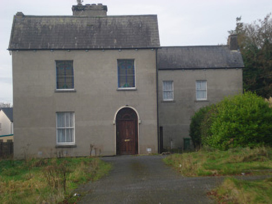 Saint Fintan's Monasterymonastery · 1581 yd
 GortnageraghMountain / peak · 1.3 mi
 Site of CastleCastle, unclassified · 1.9 mi
 Coonagh CastleCastle · 2.1 mi
 Green Field ParkWood · 3.9 mi
 TooreenMountain / peak · 5.2 mi
 ToberagaddySpring · 5.2 mi
 Slieve Felim WayWalking route · 6.2 mi
 Graveyard in AbingtonGraveyard · 8.5 mi
Other information
Photo: Credit not shown in the picture search · Rights wording not checked; contact us if this picture should be removed