What is recorded here
Four hectares of small rectangular fields still mark the southern spur of Tlachta, their ditched edges waiting beneath the grass. The layout suggests deliberate human shaping, perhaps farmland or managed land, yet no surviving account names the people who cut those lines. The geometry resists easy explanation, preserving more absence than certainty.
Situated on a SE-NW spur of the Hill of Ward, or Tlachta. A remote sensing survey (12R0057) confirmed the ring-ditch (ME030-038001-) and also identified evidence of a field system (TLN1) where the fields appear to be small rectangular areas (dims c. 40m x c. 40m) defined by single ditch features, but the fields cannot be connected directly with this ring-ditch or the linear earthworks (ME030-038----). Two small enclosures (dims c. 20-25m) on either side of an E-W field boundary ditch may be settlement enclosures or smaller fields. The recorded fields cover an area of c. 4 ha, but they undoubtedly extend further. (Davis 2017, 6)
Compiled by: Michael Moore
Date of upload: 21 April, 2017
The monument record does not grant public access. Check the route and ask the landowner before entering private land.
- What survives
- Recorded monument
Places near here
 TlachtghaFairy fort / earthen ringfort · 388 yd
 Ceremonial enclosure in TlachtaCeremonial enclosure · 423 yd
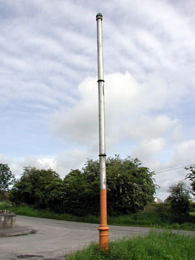 vent pipevent pipe · 1744 yd
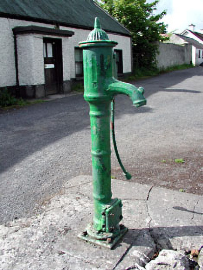 water pumpwater pump · 1.0 mi
 CastleCastle, unclassified · 2.2 mi
 JamestownMountain / peak · 2.4 mi
 Fraine CastleCastle, tower house · 2.8 mi
 FarmaphobiaHeritage attraction · 2.8 mi
 Causey FarmHeritage attraction · 2.9 mi
 FraineMountain / peak · 2.9 mi
 Laurelberry WoodWood · 3.1 mi
 Girley WoodWood · 3.2 mi