
What is recorded here
Graveyard in Threecastles stands on a ridge above the River Nore, watching the fording point where lives crossed into County Kilkenny. Its medieval church and residential tower still occupy the northern edge, while broken graveslabs scatter beneath the sky. Some fragments may reach back to the 13th or 14th century, suggesting that people have long trusted this elevated ground to hold what they loved and lose.
On a prominent E-W ridge running along the S bank of the River Nore. The slight elevation gives a commanding view across the Nore valley in all directions and over the fording point of the river. The medieval church of Threecastle (Odagh) (KK014-025003-), with its residential tower (KK014-025004-), is situated in the N portion of a roughly rectangular graveyard (dims. c. 55m N-S; c. 35m E-W in the N, tapering to c. 24m in the S). Within the graveyard Carrigan (1905, vol. 2, 268) noted a fragment of a graveslab (KK014-025008-)dated c. 1600 and Buggy (1969, 15) noted a number of graveslab fragments (KK014-025009- to KK014-025012-), including one (KK014-025009-) possibly dating to the 13th/14th century.
Compiled by: Jean Farrelly
Date of upload: 20 May 2020
The monument record does not grant public access. Check the route and ask the landowner before entering private land.
- What survives
- Recorded monument
Places near here
 Church (in ruins)Church · 10 yd
 Castle (in ruins)Castle, tower house · 15 yd
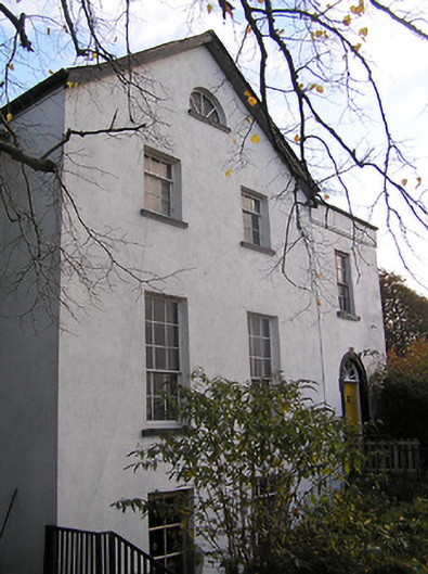 The Old Rectoryrectory/glebe/vicarage/curate's house · 74 yd
 IndicatedCastle, motte · 162 yd
 Enclosure in Ballycarran LittleEnclosure · 446 yd
 Turkey OakTurkey Oak · 496 yd
 Enclosure in ThreecastlesEnclosure · 831 yd
 Jenkinstown ParkForest · 2.0 mi
 Saint Coleman's WellSpring · 2.2 mi
 Emma Jane Browne-ClaytonMemorial · 3.4 mi
 Freshford LoopWalking route · 3.7 mi
 Edward BurkeMemorial · 4.8 mi
Other information
Photo: A.-K. D. · CC BY-SA 4.0