What is recorded here
Three Trees Burial Ground is a subcircular enclosure in County Donegal with an earthen bank still standing one metre high on the east side. The west edge has vanished beneath a road, but rich exterior growth hints at a buried ditch, while a small mound and hollow remain inside the twenty-metre space. A holy well dedicated to St. Patrick sits one hundred metres west, linking the dead to living water. The site slopes toward Lough Foyle, where human bodies may have returned to soil long before the road cut through the boundary.
Internal Diam c. 20m N-S. The 'Graveyard' (DG030-014002-) marked on the OS 6-inch maps consists of a subcircular area enclosed by the remains of an earthen bank up to 1.25m in height on the E side, the W portion is cut off by a road. Rich growth on the exterior may indicate a silted-up fosse. There is a small circular mound in the NW section of the interior and a hollow area on the E along the bank. There is a holy well (DG030-015-) dedicated to St. Patrick c. 100m to the W (Ó Muirgheasa No. 99). The site is located in cultivated land sloping E to Lough Foyle.
The above description was derived from the 'Archaeological Survey of County Donegal. A description of the field antiquities of the County from the Mesolithic Period to the 17th century.' Compiled by: Brian Lacey with Eamon Cody, Claire Cotter, Judy Cuppage, Noel Dunne, Vincent Hurley, Celie O'Rahilly, Paul Walsh and Seán Ó Nualláin (Lifford: Donegal County Council, 1983). In certain instances the entries have been revised and updated.
Date of upload: 22 September 2008
The monument record does not grant public access. Check the route and ask the landowner before entering private land.
- What survives
- Recorded monument
Places near here
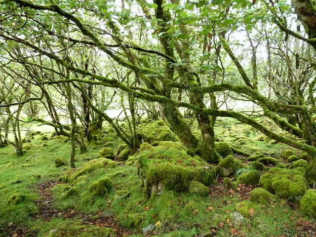 Three Trees Ecclesiastical EnclosureEcclesiastical enclosure · 1 yd
 OutlinedHoly well · 146 yd
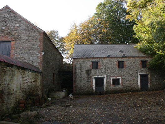 outbuildingoutbuilding · 294 yd
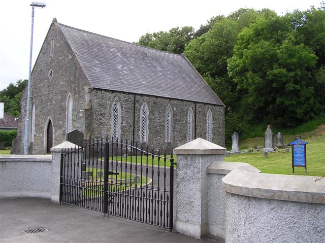 Greenbank Presbyterian Churchchurch/chapel · 1413 yd
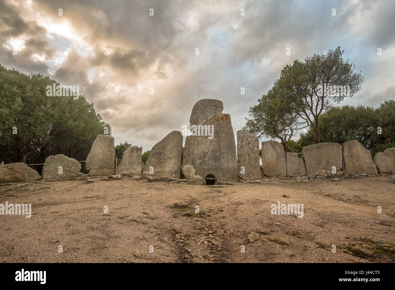 Giant's GraveArchaeological place · 1.1 mi
 Quigley's PointHeadland · 1.4 mi
 Eskaheen GraveyardGraveyard · 3.0 mi
 Muff ForestWoodland walk · 3.7 mi
 Site of Red CastleCastle, unclassified · 4.9 mi
 Scalp MountainMountain / peak · 6.0 mi
 Castle CaryCastle, unclassified · 6.4 mi
 Siege of Derry Boom Stone"The Boom Stone" (Traditionally part of 17th century boom across the River Foyle during the Siege of Derry) · 7.0 mi