What is recorded here
This site is located in the industrial peatlands of Daingean South Bog. It was first recorded in the 2013 Reassessment Peatland Survey as a NW-SE orientated machine-damaged brushwood togher, exposed on three adjacent field surfaces (Whitaker 2014). On excavation in 2014 (licence 14E0304) it was interpreted as a peatland structure. It was dated to cal. AD 1441-1619 (UBA 26595).
A single cutting, measuring 3x2m, was opened. The structure was overlain by poorly humified Sphagnum peat with frequent herbaceous roots. It was composed of a haphazard arrangement of roundwood and brushwood elements (L0.01-1.1m), and measured 0.95-2m in width and 0.2m in depth.
The elements at the SE extent of the cutting were broadly parallel with some transverse elements diving below the surface, while those at the NE extent were irregular in shape as well as positioning. An oak plank fragment was retrieved from under the roundwoods at the NW extent. The underlying Sphagnum peat was moderately well-humified and contained herbaceous material.
Some brushwood samples were identified to be alder, birch, hazel and pomoideae. Two toolmarked ends were noted on site, a chisel-point and wedge-point. One timber contained two dished facets (Whitaker 2017).
Compiled by: Jane Whitaker/Femke Vleeshouwer
Date of upload: 26 February 2020
The monument record does not grant public access. Check the route and ask the landowner before entering private land.
- What survives
- Recorded monument
Places near here
 Not indciatedStructure, peatland · 277 yd
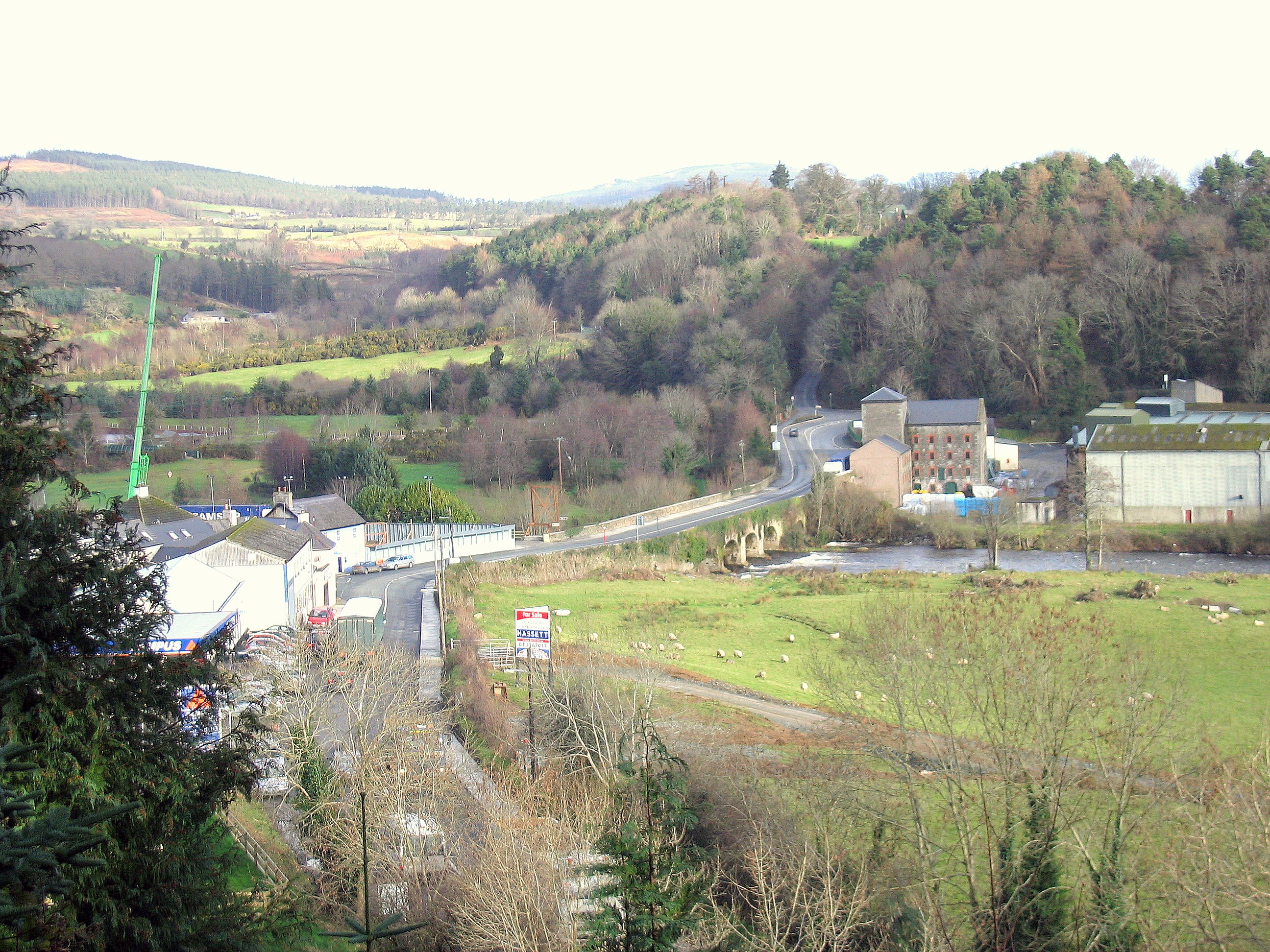 Enclosure in RathdrumEnclosure · 301 yd
 RoadRoad, class 1 togher · 406 yd
 CastleCastle, unclassified · 1689 yd
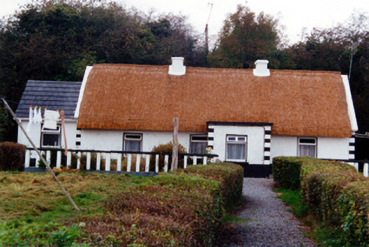 farm housefarm house · 1.1 mi
 Graveyard in BallycommonGraveyard · 1.1 mi
 Saint Clavin's WellSpring · 1.4 mi
 Kill Castle (ruins)Castle, tower house · 1.5 mi
 Cruil HillMountain / peak · 2.0 mi
 Lackan HillMountain / peak · 2.0 mi
 Children's WellSpring · 2.7 mi
 Bracklin WoodWood · 3.6 mi