What is recorded here
A dispersed, regular deposit (Wth 1.82m; D 0.16m) of thirteen pieces of mixed brushwood (diam. 0.03-0.055m) and a roundwood (diam. 0.063m). The pieces are up to two elements deep and most are orientated E-W. Hazel dominated amongst the species identified with small amounts of birch. The wood is in good condition and set in moderately humified Sphagnum peat. Radiocarbon dated to cal. 15 BC-AD 213 (UCD 0217). Further pieces of brushwood are present in the vicinity. Recorded by the Irish Archaeological Wetland Unit (University College, Dublin) in 2001. The evidence is not sufficient to warrant its acceptance as the remains of an archaeological monument.
The original survey description was compiled by the Irish Archaeological Wetland Unit (University College, Dublin). Assessed and revised by: Caimin O'Brien, Paul Walsh
Date of upload: 23 May 2011
The monument record does not grant public access. Check the route and ask the landowner before entering private land.
- What survives
- Recorded monument
Places near here
-RESIZE.jpg) PlatformPlatform, peatland · 83 yd
PlatformPlatform, peatland · 83 yd RoadRoad, class 3 togher · 129 yd
 StructureStructure, peatland · 215 yd
 CastleCastle, unclassified · 1328 yd
 Saint Clavin's WellSpring · 1369 yd
 Kill Castle (ruins)Castle, tower house · 1.0 mi
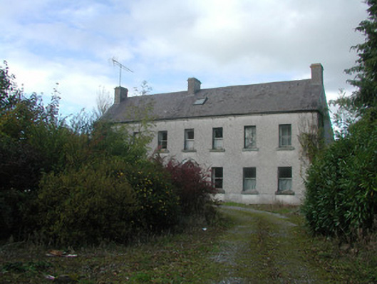 Kilmurry Househouse · 1.1 mi
 Lackan HillMountain / peak · 1.3 mi
 Cruil HillMountain / peak · 1.4 mi
 Graveyard in BallycommonGraveyard · 1.5 mi
 Bracklin WoodWood · 3.1 mi
 Children's WellSpring · 3.2 mi