What is recorded here
Stones is an incomplete Neolithic stone circle at the inner end of Bantry Bay, with five standing stones along its northern edge and the rest fallen. Its nine-metre axis points northeast to southwest, and a possible boulder burial sits just west of the centre. The circle may have marked a place where people gathered to honour the dead, watch the sea, or remember events now lost. What remains is small, damaged and quiet, but it still gives the coast a shape: a ring interrupted, not erased.
On slight NW-facing slope at inner end of Bantry Bay, c. 400m E of mouth of Coomhola river. Circle incomplete; appears to have consisted of thirteen stones. Five standing along N perimeter; remainder prostrate. Orthostats are 0.6m to 1.25m L, 0.12m to 0.3m T and 0.6m to 1.2m H. Internal measurement along main axis, aligned NE-SW, is c. 9m. Immediately W of centre of circle is possible boulder-burial (CO105-053---).
The above description is derived from the published 'Archaeological Inventory of County Cork. Volume 1: West Cork' (Dublin: Stationery Office, 1992). In certain instances the entries have been revised and updated in the light of recent research.
Date of upload/revision: 14 January 2009
Dromkeal is likely a prehistoric stone circle dating to the Bronze Age, associated with ritual or ceremonial activity. The site may have had astronomical or territorial significance, though specific folklore or use remains unrecorded.
The monument record does not grant public access. Check the route and ask the landowner before entering private land.
- What survives
- Recorded monument
Places near here
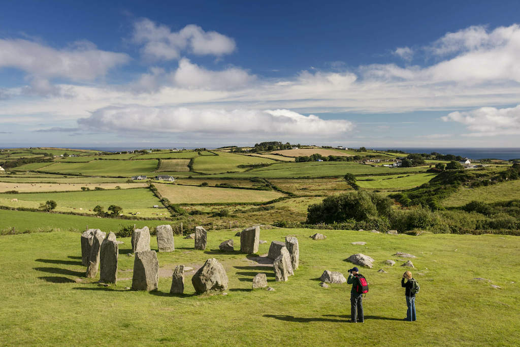 StonesBoulder-burial · 1 yd
 Snave StrandBeach / strand · 750 yd
 Daly's LoopWalking route · 920 yd
 Rose Cottagehouse · 1042 yd
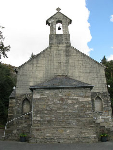 St. Joseph's Roman Catholic Churchchurch/chapel · 1182 yd
 Castle (in Ruins)House, fortified house · 1507 yd
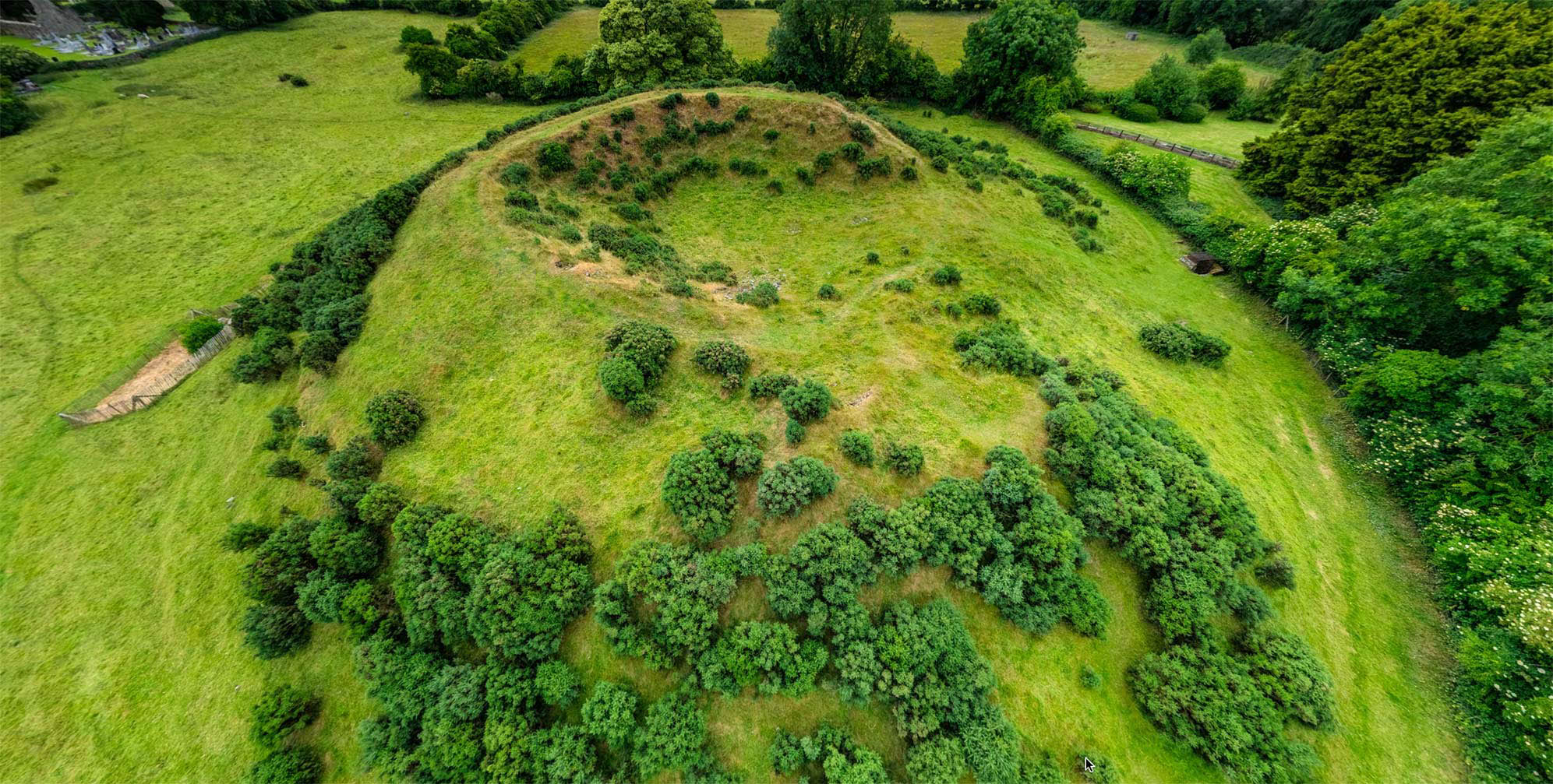 Burial ground in Dromduff EastBurial ground · 1760 yd
 Coomhola Salmon Trust (Streamscapes)Museum · 1.1 mi
 Ballylickey BayBay · 1.2 mi
 Snave BayBay · 1.3 mi
 Chilean myrtleChilean myrtle · 1.4 mi
 Japanese cedarJapanese cedar · 1.8 mi